
1915 Map of Number Four
USGS Topo · Published 1915About this map
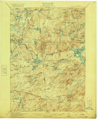
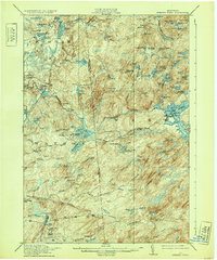
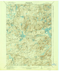
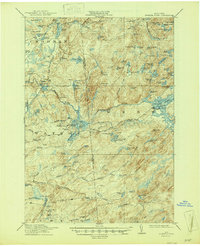
Number Four serves as a lone outpost of settlement within this densely wooded and water-filled landscape on the boundary of Lewis and Herkimer Counties. Surveyed just before the First World War, the area is defined by an intricate network of glacial lakes and mountain peaks. To the north, the West Branch Oswegatchi River and the Middle Branch Oswegatchi River carve through the terrain, flanked by distinctive landforms like The Hogs Back. The presence of Silver Mine Dam and Beech Dam suggests early industrial or resource management efforts in a region otherwise dominated by primitive wilderness. High points such as Stillwater Mtn and Peaked Mtn overlook numerous small water bodies, including Gregg Lake and the isolated Loon Hollow Pond. This map captures a moment before modern infrastructure, where Balsam Flats and other family-named landmarks provided the primary orientation for those navigating the North Country.
Find a feature on this map
103 named features on this map. Tap any name to fly to it.
Don’t see what you’re looking for? This feature index may not catch every label — zoom into the map to look around manually.
Map Details
Editions of this 1915 Number Four Map
5 editions found
Other maps of this area

1901 · Old Forge
USGS Topo · 1:62,500

1903 · Big Moose
USGS Topo · 1:62,500

1905 · Port Leyden
USGS Topo · 1:62,500

1907 · Port Leyden
USGS Topo · 1:62,500

1911 · Lowville
USGS Topo · 1:62,500

1912 · Number Four
USGS Topo · 1:62,500

1912 · Mc Keever
USGS Topo · 1:62,500

1913 · Lowville
USGS Topo · 1:62,500

1913 · Lake Bonaparte
USGS Topo · 1:62,500

1916 · Lake Bonaparte
USGS Topo · 1:62,500