
1903 Map of Big Moose
USGS Topo · Published 1903About this map
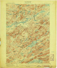
Big Moose and the surrounding Adirondack wilderness appear here in 1903, a landscape defined by an intricate network of glacial lakes and the early expansion of the New York Central and Hudson River R. R. The map details the Adirondack Division as it cuts through the mountains, connecting remote stations like Beaver and Brandreth. The central water systems, including the Beaver River Flow and the expansive Nehasane Lake, show the region before extensive modern development.
Find a feature on this map
103 named features on this map. Tap any name to fly to it.
Don’t see what you’re looking for? This feature index may not catch every label — zoom into the map to look around manually.
Map Details
Editions of this 1903 Big Moose Map
11 editions found
1903 edition
15.5 x 19.9 inches
1906 edition
16.6 x 20 inches
1908 edition
16.6 x 20.1 inches
1912 edition
16.6 x 20.1 inches
1918 edition
16.6 x 20.2 inches
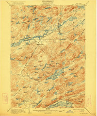
1922 edition
16.5 x 19.8 inches
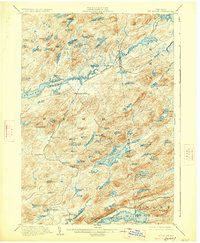
1927 edition
16.6 x 20.2 inches
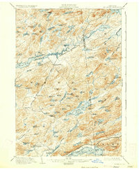
1930 edition
16.6 x 20.2 inches
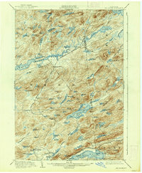
1938 edition
16.6 x 20.1 inches
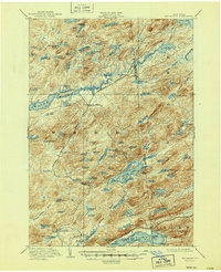
1947 edition
17 x 20.9 inches
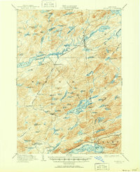
1951 edition
17 x 20.9 inches
Other maps of this area

1900 · Canada Lake
USGS Topo · 1:62,500

1901 · Old Forge
USGS Topo · 1:62,500

1903 · West Canada Lakes
USGS Topo · 1:62,500

1903 · Raquette Lake
USGS Topo · 1:62,500

1907 · Tupper Lake
USGS Topo · 1:62,500

1912 · Number Four
USGS Topo · 1:62,500

1912 · Mc Keever
USGS Topo · 1:62,500

1915 · Number Four
USGS Topo · 1:62,500

1916 · Oswegatchie
USGS Topo · 1:62,500

1918 · Oswegatchie
USGS Topo · 1:62,500