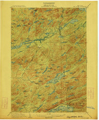
1903 Map of Big Moose
USGS Topo · Published 1912About this map
Beaver River Flow and the winding course of the New York Central and Hudson River R. R. define this central Adirondack landscape at the opening of the twentieth century. The map highlights a transition in regional transportation, documenting both the established iron rails and the seasonal Steamboat Route connecting waters near Inlet. Small rail-dependent settlements like Beaver and Brandreth stand as isolated outposts within a dense network of water bodies, ranging from the expansive Lake Lila in the north to the Fulton Chain Lake system in the south. High points such as Twitchell Mt. and Bald Mountain provide topographical context to a region defined by its timber and emerging recreation economies. This survey, completed by the State of New York in cooperation with federal geographers, captures the intricate drainage patterns of the Independence River and Twitchell Creek before modern development altered the wilderness character of these highlands.
Find a feature on this map
109 named features on this map. Tap any name to fly to it.
Don’t see what you’re looking for? This feature index may not catch every label — zoom into the map to look around manually.
Map Details
Editions of this 1903 Big Moose Map
11 editions found

1903 edition
15.5 x 19.9 inches
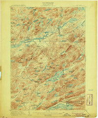
1906 edition
16.6 x 20 inches
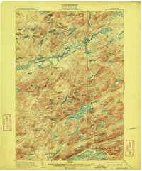
1908 edition
16.6 x 20.1 inches
1912 edition
16.6 x 20.1 inches
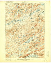
1918 edition
16.6 x 20.2 inches
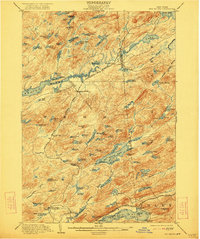
1922 edition
16.5 x 19.8 inches
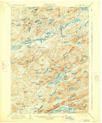
1927 edition
16.6 x 20.2 inches
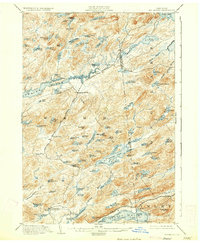
1930 edition
16.6 x 20.2 inches
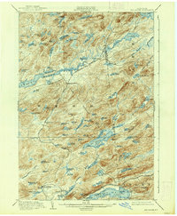
1938 edition
16.6 x 20.1 inches
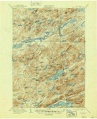
1947 edition
17 x 20.9 inches
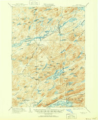
1951 edition
17 x 20.9 inches
Other maps of this area

1900 · Canada Lake
USGS Topo · 1:62,500

1901 · Old Forge
USGS Topo · 1:62,500
1903 · Big Moose
USGS Topo · 1:62,500

1903 · West Canada Lakes
USGS Topo · 1:62,500

1903 · Raquette Lake
USGS Topo · 1:62,500

1907 · Tupper Lake
USGS Topo · 1:62,500

1912 · Number Four
USGS Topo · 1:62,500

1912 · Mc Keever
USGS Topo · 1:62,500

1915 · Number Four
USGS Topo · 1:62,500

1916 · Oswegatchie
USGS Topo · 1:62,500