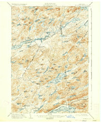
1903 Map of Big Moose
USGS Topo · Published 1930About this map
The New York Central and Hudson River R. R. cuts a narrow path through this wilderness landscape at the turn of the century, connecting remote settlements like Beaver River and Woods Lake to the outside world. This 1903 survey, reprinted in 1930, illustrates an era of transition for the Adirondack region, where logging and early tourism relied on the Adirondack Division and seasonal Steamboat Routes across the larger lakes. The massive Beaver River Flow dominates the central terrain, feeding into a complex network of ponds and brooks that defined the local economy and travel. Genealogists and historians can trace the early footprints of Big Moose and Inlet, as well as established landmarks such as Carter Sta and Eagle Bay, which served as hubs for those venturing into the forest. The map also delineates the Herkimer Co Hamilton Co Boundary Line, providing clear geographic context for land ownership and municipal records from the period.
Find a feature on this map
107 named features on this map. Tap any name to fly to it.
Don’t see what you’re looking for? This feature index may not catch every label — zoom into the map to look around manually.
Map Details
Editions of this 1903 Big Moose Map
11 editions found

1903 edition
15.5 x 19.9 inches
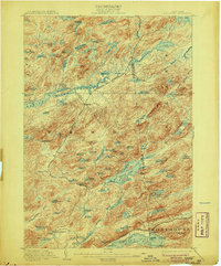
1906 edition
16.6 x 20 inches
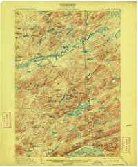
1908 edition
16.6 x 20.1 inches
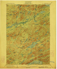
1912 edition
16.6 x 20.1 inches
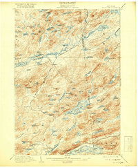
1918 edition
16.6 x 20.2 inches
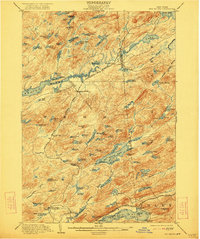
1922 edition
16.5 x 19.8 inches
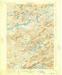
1927 edition
16.6 x 20.2 inches
1930 edition
16.6 x 20.2 inches
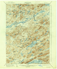
1938 edition
16.6 x 20.1 inches
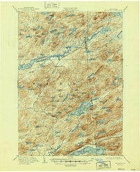
1947 edition
17 x 20.9 inches
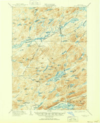
1951 edition
17 x 20.9 inches
Other maps of this area

1900 · Canada Lake
USGS Topo · 1:62,500

1901 · Old Forge
USGS Topo · 1:62,500
1903 · Big Moose
USGS Topo · 1:62,500

1903 · West Canada Lakes
USGS Topo · 1:62,500

1903 · Raquette Lake
USGS Topo · 1:62,500

1907 · Tupper Lake
USGS Topo · 1:62,500

1912 · Number Four
USGS Topo · 1:62,500

1912 · Mc Keever
USGS Topo · 1:62,500

1915 · Number Four
USGS Topo · 1:62,500

1916 · Oswegatchie
USGS Topo · 1:62,500