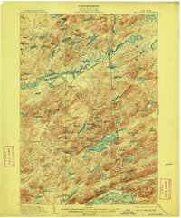
1903 Map of Big Moose
USGS Topo · Published 1908About this map
Beaver River Flow and the intricate network of lakes across Webb and Inlet define this early 20th-century Adirondack landscape. The New York Central and Hudson River R. R. cuts through the territory via the Adirondack Division, connecting remote outposts like Beaver and Big Moose to the wider world. The map illustrates a period when travel relied heavily on both rail and water, featuring a dedicated Steamboat Route on Big Moose Lake and another crossing Fourth Lake near Eagle Bay.
Find a feature on this map
97 named features on this map. Tap any name to fly to it.
Don’t see what you’re looking for? This feature index may not catch every label — zoom into the map to look around manually.
Map Details
Editions of this 1903 Big Moose Map
11 editions found

1903 edition
15.5 x 19.9 inches
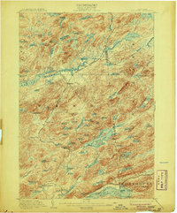
1906 edition
16.6 x 20 inches
1908 edition
16.6 x 20.1 inches
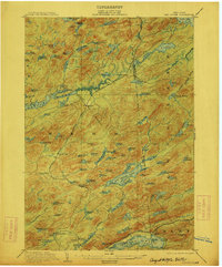
1912 edition
16.6 x 20.1 inches
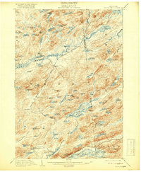
1918 edition
16.6 x 20.2 inches
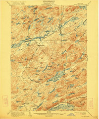
1922 edition
16.5 x 19.8 inches
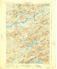
1927 edition
16.6 x 20.2 inches
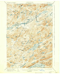
1930 edition
16.6 x 20.2 inches
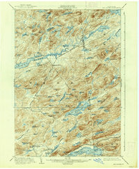
1938 edition
16.6 x 20.1 inches
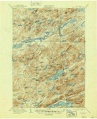
1947 edition
17 x 20.9 inches
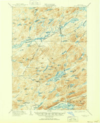
1951 edition
17 x 20.9 inches
Other maps of this area

1900 · Canada Lake
USGS Topo · 1:62,500

1901 · Old Forge
USGS Topo · 1:62,500
1903 · Big Moose
USGS Topo · 1:62,500

1903 · West Canada Lakes
USGS Topo · 1:62,500

1903 · Raquette Lake
USGS Topo · 1:62,500

1907 · Tupper Lake
USGS Topo · 1:62,500

1912 · Number Four
USGS Topo · 1:62,500

1912 · Mc Keever
USGS Topo · 1:62,500

1915 · Number Four
USGS Topo · 1:62,500

1916 · Oswegatchie
USGS Topo · 1:62,500