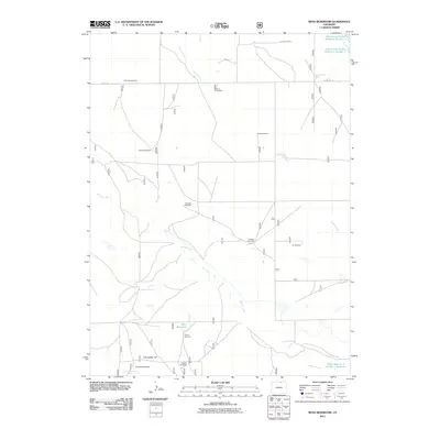
2011 Map of Reno Reservoir
USGS Topo · Published 2011About this map
The high plains of Weld County are defined here by an intricate network of water management and livestock infrastructure at the start of the twenty-first century. Reno Reservoir and the Adams and Bunker Reservoir Number 3 serve as focal points in an arid landscape where ephemeral drainages like Geary Creek and Willow Creek are augmented by human-made catchments. The naming of smaller features, such as Seven Reverse Y Number 1 Reservoir, suggests specific agricultural holdings or ranching operations characteristic of this region.
Find a feature on this map
22 named features on this map. Tap any name to fly to it.
Don’t see what you’re looking for? This feature index may not catch every label — zoom into the map to look around manually.
Map Details
Editions of this 2011 Reno Reservoir Map
This is the sole edition of this map. No revisions or reprints were ever made.
Other maps of this area

1908 · Eaton
USGS Topo · 1:125,000

1910 · Eaton
USGS Topo · 1:125,000

1954 · Greeley
USGS Topo · 1:250,000

1957 · Greeley
USGS Topo · 1:250,000

1958 · Greeley
USGS Topo · 1:250,000

1960 · Purcell
USGS Topo · 1:24,000

1961 · Greeley
USGS Topo · 1:250,000

1964 · Greeley
USGS Topo · 1:250,000

1965 · Greeley
USGS Topo · 1:250,000

1972 · Briggsdale
USGS Topo · 1:24,000