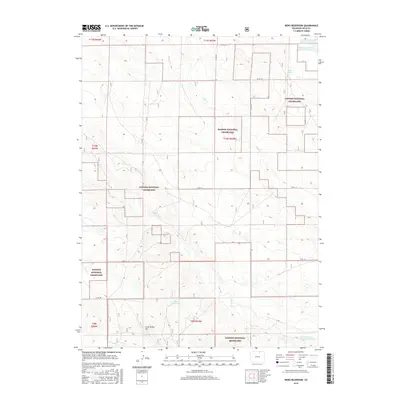
2016 Map of Reno Reservoir
USGS Topo · Published 2016About this map
The Pawnee National Grassland dominates this portion of the Colorado high plains, where the open landscape is defined by its water management and drainage systems. Natural features like Geary Cr, Willow Cr, and Sand Cr cut across the terrain, while the presence of the Reno Reservoir and the Seven Reverse Y Number 1 Reservoir highlights the necessity of water storage in this arid environment. The map shows a region shaped by ranching and resource management, with prominent landmarks such as Crow Valley Hill and Oasis Spring providing orientation points across the range. A network of county roads, including Co RD 114 and Co RD 108, overlays the grid of the Public Land Survey System, reflecting the organized settlement patterns of Weld County.
Find a feature on this map
23 named features on this map. Tap any name to fly to it.
Don’t see what you’re looking for? This feature index may not catch every label — zoom into the map to look around manually.
Map Details
Editions of this 2016 Reno Reservoir Map
This is the sole edition of this map. No revisions or reprints were ever made.
Other maps of this area

1908 · Eaton
USGS Topo · 1:125,000

1910 · Eaton
USGS Topo · 1:125,000

1954 · Greeley
USGS Topo · 1:250,000

1957 · Greeley
USGS Topo · 1:250,000

1958 · Greeley
USGS Topo · 1:250,000

1960 · Purcell
USGS Topo · 1:24,000

1961 · Greeley
USGS Topo · 1:250,000

1964 · Greeley
USGS Topo · 1:250,000

1965 · Greeley
USGS Topo · 1:250,000

1972 · Briggsdale
USGS Topo · 1:24,000