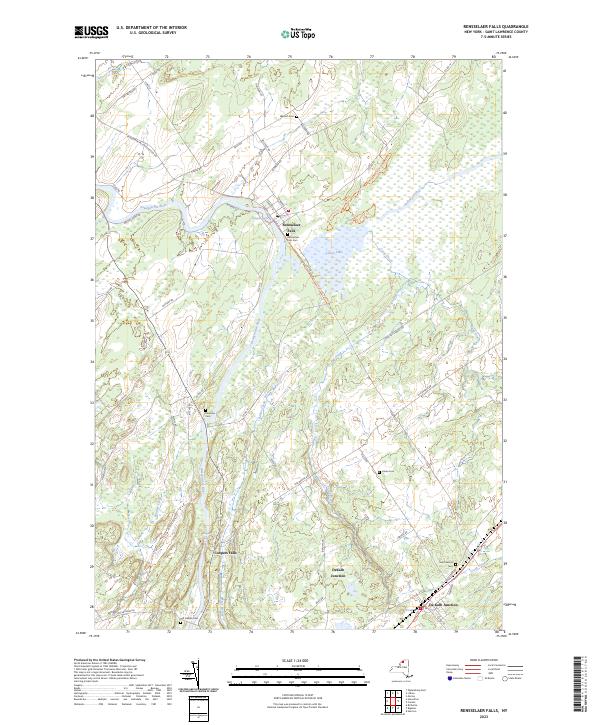
2023 Map of Rensselaer Falls
USGS Topo · Published 2023About this map
The Oswegatchie River defines the landscape of this St. Lawrence County quadrangle, flowing past the village of Rensselaer Falls and the settlement of Coopers Falls. The terrain is marked by a complex network of wetlands and tributaries, including Barter Creek, Gulf Creek, and Indian Creek, which feed into the prominent Lower Lake. Transportation history is visible in the corridor of the Old Railroad Bed Trl and a dense grid of rural roads like Irish Settlement Rd and Old DeKalb Rd. Genealogists will find significant detail here, with several family and community burial grounds documented, such as Walruth Cem, Kendrew Cem, and Saint Henrys Cem near DeKalb Junction. The map captures a contemporary look at these long-established North Country communities, showing the persistence of rural settlements and agricultural routes across the northern New York landscape.
Find a feature on this map
58 named features on this map. Tap any name to fly to it.
Don’t see what you’re looking for? This feature index may not catch every label — zoom into the map to look around manually.
Map Details
Editions of this 2023 Rensselaer Falls Map
This is the sole edition of this map. No revisions or reprints were ever made.
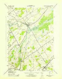
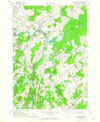
Historical Maps of De Peyster Through Time
3 maps found