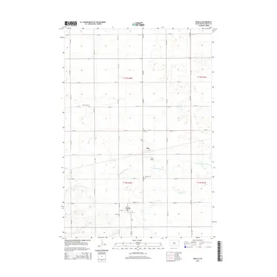
2015 Map of Revillo
USGS Topo · Published 2015About this map
Revillo and Albee serve as the primary hubs of this rural Grant County landscape, connected by a rigid grid of gravel roads and section lines. The surrounding terrain is defined by the winding course of the S Fork Yellow Bank River, which cuts across the central townships of t118n r48w and t119n r48w. For those researching local lineages, the map is remarkably dense with burial sites, including the Revillo Cem, Albee Cem, and the more isolated West Vernon Cem to the northwest. The presence of Tribitt Airport south of Albee and the meandering paths of Mud Creek illustrate the intersection of early aviation and natural drainage patterns in this eastern South Dakota agricultural region. Small-town infrastructure is visible through named streets like W 3rd ST and 2nd ST, providing a precise look at these communities during the mid-2010s.
Find a feature on this map
30 named features on this map. Tap any name to fly to it.
Don’t see what you’re looking for? This feature index may not catch every label — zoom into the map to look around manually.
Map Details
Editions of this 2015 Revillo Map
This is the sole edition of this map. No revisions or reprints were ever made.
Other maps of this area

1953 · Bellingham
USGS Topo · 1:62,500

1953 · Milbank
USGS Topo · 1:250,000

1953 · Watertown
USGS Topo · 1:250,000

1958 · Milbank
USGS Topo · 1:250,000

1958 · Watertown
USGS Topo · 1:250,000

1967 · Gary NW
USGS Topo · 1:24,000

1971 · Marietta
USGS Topo · 1:24,000

1971 · Rosen
USGS Topo · 1:24,000

1973 · LaBolt
USGS Topo · 1:24,000

1973 · Tunerville
USGS Topo · 1:24,000