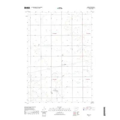
2017 Map of Revillo
USGS Topo · Published 2017About this map
Revillo and Albee serve as the primary residential hubs in this section of Grant County, where the agricultural landscape is defined by a grid of section roads and the winding path of the S Fork Yellow Bank River. This survey captures a rural territory heavily populated by small community burial grounds, such as West Vernon Cem and Saint Pauls Cem, which reflect the localized history of the surrounding townships. The hydrology of the area is centered on the river and Mud Creek, which cut through the level terrain. For genealogists and local researchers, the map provides precise locations for these scattered sites, including Recaboth Cem and Saint Mary's Cem, which are often the most tangible remaining markers of early settlement patterns in this part of South Dakota.
Find a feature on this map
32 named features on this map. Tap any name to fly to it.
Don’t see what you’re looking for? This feature index may not catch every label — zoom into the map to look around manually.
Map Details
Editions of this 2017 Revillo Map
This is the sole edition of this map. No revisions or reprints were ever made.
Other maps of this area

1953 · Bellingham
USGS Topo · 1:62,500

1953 · Milbank
USGS Topo · 1:250,000

1953 · Watertown
USGS Topo · 1:250,000

1958 · Milbank
USGS Topo · 1:250,000

1958 · Watertown
USGS Topo · 1:250,000

1967 · Gary NW
USGS Topo · 1:24,000

1971 · Marietta
USGS Topo · 1:24,000

1971 · Rosen
USGS Topo · 1:24,000

1973 · LaBolt
USGS Topo · 1:24,000

1973 · Tunerville
USGS Topo · 1:24,000