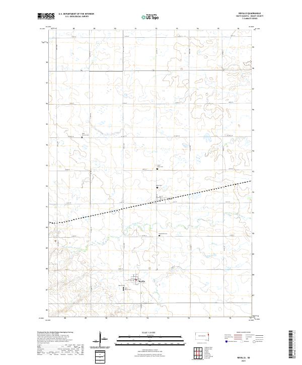
2021 Map of Revillo
USGS Topo · Published 2021About this map
Revillo and Albee serve as the primary anchors of this eastern South Dakota landscape, where the agricultural grid is etched into the terrain by an extensive network of section roads. The area is defined by its small-town infrastructure and numerous burial grounds, reflecting a long history of local settlement. Genealogists can trace several prominent sites including Revillo Cem, Saint Mary's Cem, and the Albee Cem north of town. The S Fork Yellow Bank River and Mud Creek provide natural drainage across the prairie, winding through the townships of t119n r48w and t118n r48w. The map illustrates a classic Great Plains layout where the life of the community is centered around the intersection of watercourses and the established township-and-range lines.
Find a feature on this map
31 named features on this map. Tap any name to fly to it.
Don’t see what you’re looking for? This feature index may not catch every label — zoom into the map to look around manually.
Map Details
Editions of this 2021 Revillo Map
This is the sole edition of this map. No revisions or reprints were ever made.
Other maps of this area

1953 · Bellingham
USGS Topo · 1:62,500

1953 · Milbank
USGS Topo · 1:250,000

1953 · Watertown
USGS Topo · 1:250,000

1958 · Milbank
USGS Topo · 1:250,000

1958 · Watertown
USGS Topo · 1:250,000

1967 · Gary NW
USGS Topo · 1:24,000

1971 · Marietta
USGS Topo · 1:24,000

1971 · Rosen
USGS Topo · 1:24,000

1973 · LaBolt
USGS Topo · 1:24,000

1973 · Tunerville
USGS Topo · 1:24,000