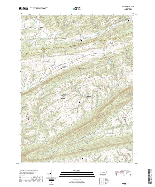
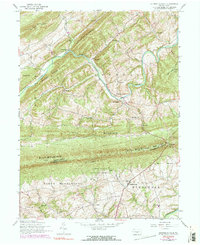
2023 Map of Reward
USGS Topo · Published 2023About this map
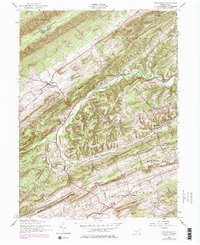
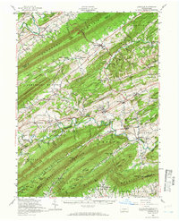
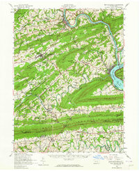
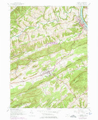
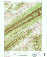
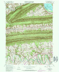
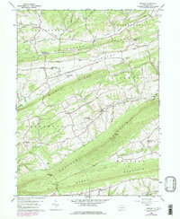
The ridge-and-valley landscape of Juniata and Perry Counties is defined by the sharp parallel lines of Turkey Ridge, Wildcat Ridge, and Buffalo Mountain. This terrain structures the rural settlements of Seven Stars, Nekoda, and Reward, which are tucked into the fertile basins of Pfoutz Valley and Perry Valley. The abundance of early family and denominational sites, such as the Long Family Graveyard and Saint Michael Evangelical Lutheran Church Cemetery, indicates a long history of communal and family-centered settlement. Historically, the area relied on water gaps like Mitchell Gap for transit, while smaller waterways such as Cocolamus Creek and Bargers Run drain the valleys. The map also records early infrastructure and waypoints including Sunbury Path and the Old Ferry Road, which once connected these rural interiors to the Susquehanna River corridor.
Find a feature on this map
79 named features on this map. Tap any name to fly to it.
Don’t see what you’re looking for? This feature index may not catch every label — zoom into the map to look around manually.
Map Details
Editions of this 2023 Reward Map
This is the sole edition of this map. No revisions or reprints were ever made.
Historical Maps of Pfoutz Valley Through Time
22 maps found
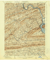
1907 New Bloomfield
Perry County, PA

1930 Loysville
Perry County, PA
1933 Loysville
Perry County, PA

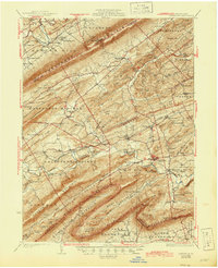
1943 New Bloomfield
Perry County, PA
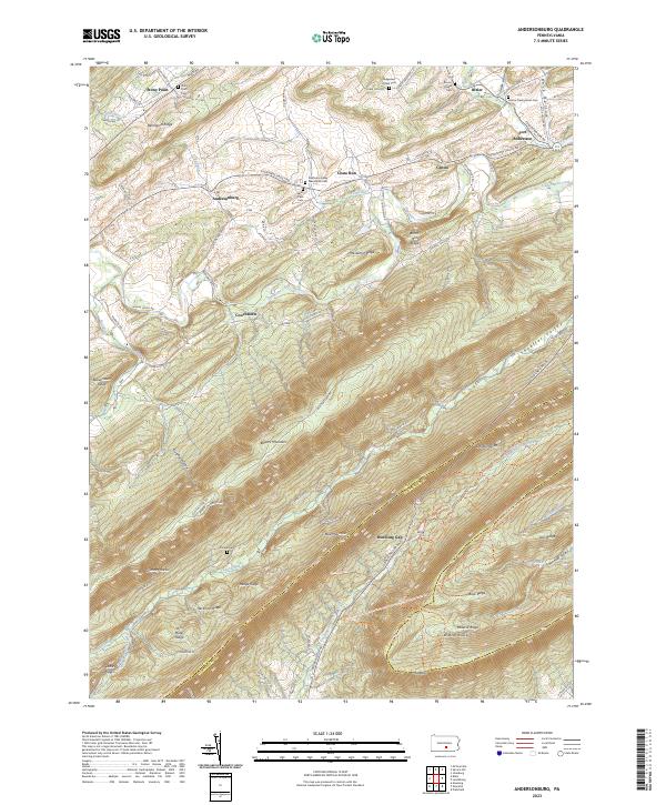
1952 Andersonburg
Perry County, PA
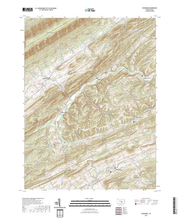
1952 Ickesburg
Perry County, PA
1952 Loysville
Perry County, PA
1952 New Bloomfield
Perry County, PA
1952 Newport
Perry County, PA
1952 Shermans Dale
Perry County, PA
1952 Spruce Hill
Perry County, PA
1952 Wertzville
Perry County, PA
1959 Reward
Perry County, PA
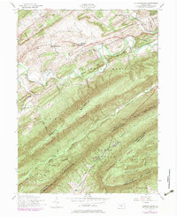
1977 Reward
Perry County, PA
1999 Wertzville
Perry County, PA
2023 Andersonburg
Perry County, PA
2023 Ickesburg
Perry County, PA
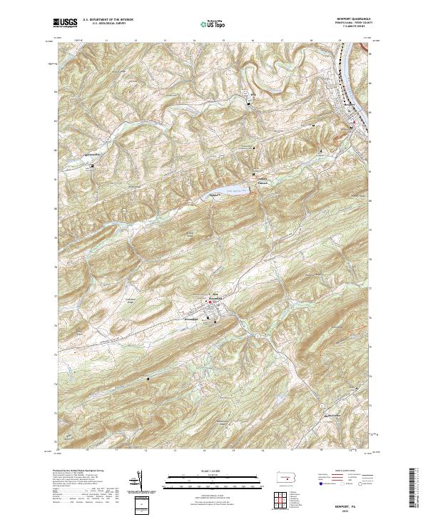
2023 Newport
Perry County, PA
2023 Reward
Perry County, PA
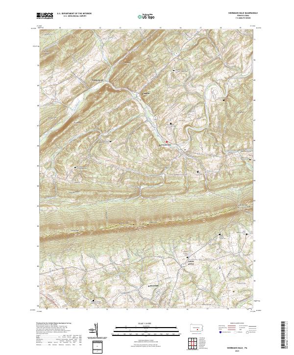
2023 Shermans Dale
Perry County, PA
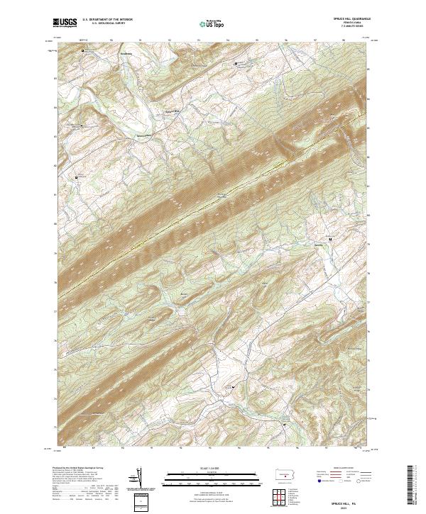
2023 Spruce Hill
Perry County, PA
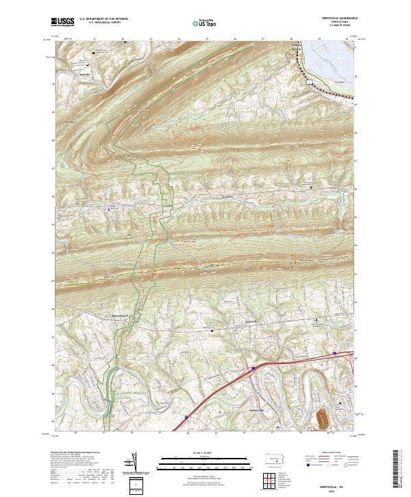
2023 Wertzville
Perry County, PA
Featured Locations
- Susquehanna Township, PA
- Greenwood Township, PA
- Howe Township, PA
- Liverpool Township, PA
- Buffalo Township, PA