Loading...
Loading map...2023 Map of Rhodell
USGS Topo · Published 2023About this map
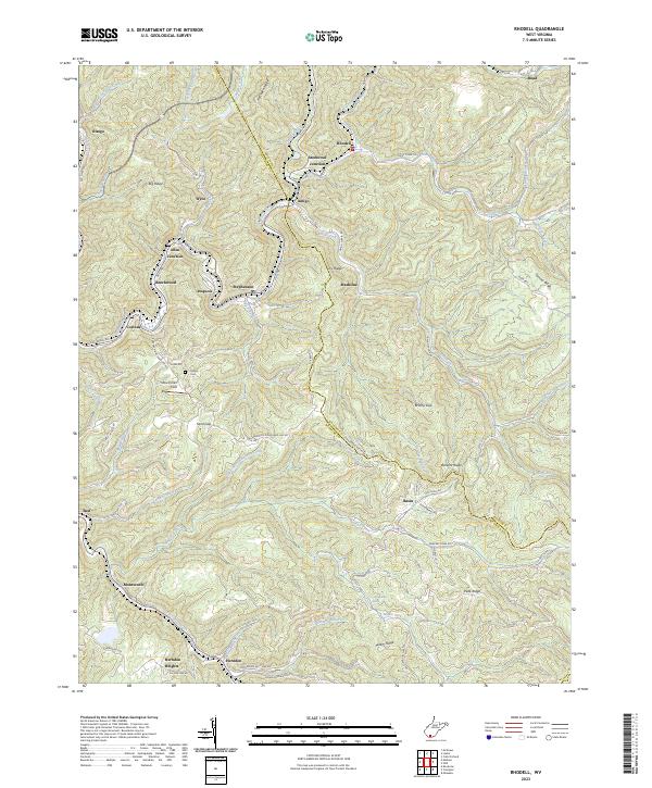
The Guyandotte River winds through the heart of this Appalachian coal country, tracing a landscape defined by steep ridges and narrow hollows. In this recent survey of the region, the complex settlement pattern of Raleigh CO and Wyoming CO remains visible through closely spaced communities like Amigo, Stephenson, and Allen Junction. These towns were historically anchored to the coal seams found within the surrounding elevations, such as Ivy Ridge and Barkers Ridge.
Find a feature on this map
87 named features on this map. Tap any name to fly to it.
Don’t see what you’re looking for? This feature index may not catch every label — zoom into the map to look around manually.
Map Details
Date Portrayed2023
Date Published2023
PublisherU.S. Geological Survey
Map TypeTopographic
Scale1:24000
Physical Dimensions24 x 29 inches
Editions of this 2023 Rhodell Map
This is the sole edition of this map. No revisions or reprints were ever made.
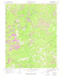
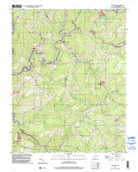
Historical Maps of Madeline Through Time
3 maps found
Featured Locations
Source Details
SourceU.S. Geological Survey
CopyrightPublic Domain