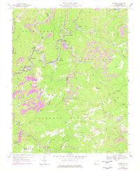
1967 Map of Rhodell
USGS Topo · Published 1977About this map
Guyandotte River valley settlements define this industrial landscape during a period of intensive resource extraction along the border of Raleigh and Wyoming counties. The topographic data reveals a complex network of Strip Mines and Mine Dumps carved into the steep slopes of Slab Fork Ridge and Milam Ridge. Transportation was the lifeblood of these mountain communities, with the Chesapeake and Ohio and Norfolk and Western railroads following the winding river and creek beds to serve coal camps like Iroquois and Stephenson. Beyond the mining infrastructure, the map documents the social fabric of the era through sites such as the Drive-in Theater near Montecarlo and several remote churches, including Spruce Grove Ch and Barkers Ridge Ch, which served families living along the many branches of Barkers Creek.
Find a feature on this map
66 named features on this map. Tap any name to fly to it.
Don’t see what you’re looking for? This feature index may not catch every label — zoom into the map to look around manually.
Map Details
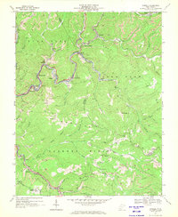
Editions of this 1967 Rhodell Map
2 editions found
Other maps of this area

1887 · Pocahontas
USGS Topo · 1:125,000

1891 · Pocahontas
USGS Topo · 1:125,000

1891 · Raleigh
USGS Topo · 1:125,000

1894 · Pocahontas
USGS Topo · 1:125,000

1895 · Pocahontas
USGS Topo · 1:125,000

1897 · Raleigh
USGS Topo · 1:125,000

1902 · Raleigh
USGS Topo · 1:125,000

1909 · Pocahontas Special
USGS Topo · 1:48,000

1911 · Flattop
USGS Topo · 1:48,000

1911 · Pocahontas Special
USGS Topo · 1:62,500