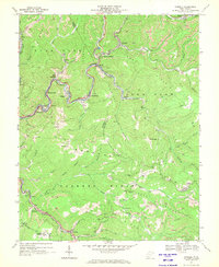
1967 Map of Rhodell
USGS Topo · Published 1970About this map
The Guyandotte River and its numerous tributaries, including Slab Fork and Barkers Creek, carve a landscape defined by coal production in the late 1960s. This survey documents a dense network of mining operations, characterized by numerous Strip Mines and Mine Dumps that dominate the ridges of Slab Fork Ridge and Barkers Ridge. The regional economy is anchored by the Chesapeake and Ohio and Norfolk and Western railroads, which weave through the valleys to serve small mining communities like Rhodell, Amigo, and Herndon. Local social life is evident in the presence of the Drive-in Theater near Barkers Creek and several community churches such as Barkers Ridge Ch and Mt Pisgah Ch. The map provides a detailed view of the infrastructure of the West Virginia coalfields, showing the proximity of residential settlements like Iroquois and Corinne to the industrial workings of the era.
Find a feature on this map
69 named features on this map. Tap any name to fly to it.
Don’t see what you’re looking for? This feature index may not catch every label — zoom into the map to look around manually.
Map Details
Editions of this 1967 Rhodell Map
2 editions found
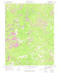
Other maps of this area

1887 · Pocahontas
USGS Topo · 1:125,000

1891 · Pocahontas
USGS Topo · 1:125,000

1891 · Raleigh
USGS Topo · 1:125,000

1894 · Pocahontas
USGS Topo · 1:125,000

1895 · Pocahontas
USGS Topo · 1:125,000

1897 · Raleigh
USGS Topo · 1:125,000

1902 · Raleigh
USGS Topo · 1:125,000

1909 · Pocahontas Special
USGS Topo · 1:48,000

1911 · Flattop
USGS Topo · 1:48,000

1911 · Pocahontas Special
USGS Topo · 1:62,500