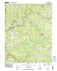
1996 Map of Rhodell
USGS Topo · Published 2003About this map
Guyandotte River carves a deep path through the coal-rich terrain of southern West Virginia, anchoring a series of industrial settlements including Iroquois, Stephenson, and Amigo. The landscape is heavily defined by the extraction economy of the late 20th century, with numerous mines, mine dumps, and a tipple marking the valleys near Stonecoal Junction. This topography forced development into narrow ribbons along the water and rail corridors, creating a distinct linear settlement pattern characteristic of the Appalachian coalfields.
Find a feature on this map
65 named features on this map. Tap any name to fly to it.
Don’t see what you’re looking for? This feature index may not catch every label — zoom into the map to look around manually.
Map Details
Editions of this 1996 Rhodell Map
This is the sole edition of this map. No revisions or reprints were ever made.
Other maps of this area

1887 · Pocahontas
USGS Topo · 1:125,000

1891 · Pocahontas
USGS Topo · 1:125,000

1891 · Raleigh
USGS Topo · 1:125,000

1894 · Pocahontas
USGS Topo · 1:125,000

1895 · Pocahontas
USGS Topo · 1:125,000

1897 · Raleigh
USGS Topo · 1:125,000

1902 · Raleigh
USGS Topo · 1:125,000

1909 · Pocahontas Special
USGS Topo · 1:48,000

1911 · Flattop
USGS Topo · 1:48,000

1911 · Pocahontas Special
USGS Topo · 1:62,500