2024 Map of Richburg
USGS Topo · Published 2024About this map
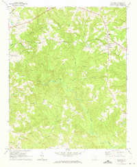
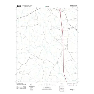
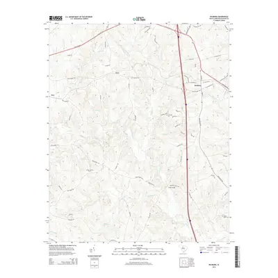
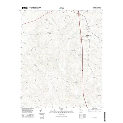
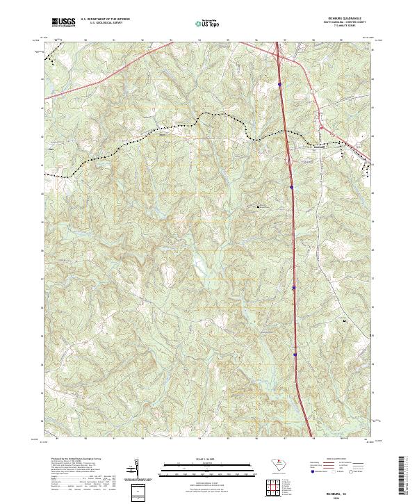
Richburg serves as the focal point of this Chester County landscape, where the intersection of traditional routes like Old Richburg Rd and modern thoroughfares defines the settlement pattern. The area is characterized by a dense network of waterways, including Rocky Creek and Bull Skin Creek, which dictate the rolling topography around Mountain Gap. This 2024 data highlights the evolution of local industry near the L & C Industrial Park while preserving vital genealogical landmarks such as Mount Moriah Cem and Pauls Cem.
Find a feature on this map
59 named features on this map. Tap any name to fly to it.
Don’t see what you’re looking for? This feature index may not catch every label — zoom into the map to look around manually.
Map Details
Editions of this 2024 Richburg Map
This is the sole edition of this map. No revisions or reprints were ever made.
Historical Maps of Richburg Through Time
6 maps found