1969 Map of Richburg
USGS Topo · Published 1973About this map
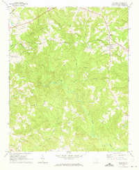
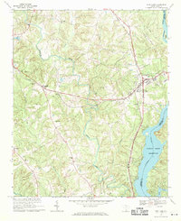
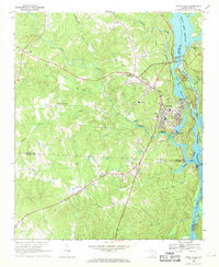
Richburg serves as the primary hub of this landscape at the junction of Chester and Lancaster counties, where the Seaboard Coast Line railroad cuts across the northern terrain. The settlement pattern is defined by several rural congregations and family-associated landmarks, including Union Ch and St Philips Ch. The topographic detail reveals a heavily dissected plateau where numerous waterways, such as Rocky Creek and Bull Run, have carved deep drainage patterns through the South Carolina Piedmont.
Find a feature on this map
25 named features on this map. Tap any name to fly to it.
Don’t see what you’re looking for? This feature index may not catch every label — zoom into the map to look around manually.
Map Details
Editions of this 1969 Richburg Map
This is the sole edition of this map. No revisions or reprints were ever made.
Other maps of this area

1941 · Spartanburg
USGS Topo · 1:250,000
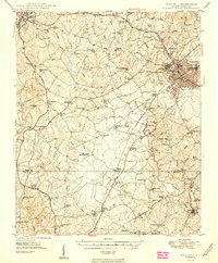
1949 · Rock Hill
USGS Topo · 1:62,500

1953 · Spartanburg
USGS Topo · 1:250,000

1960 · Spartanburg
USGS Topo · 1:250,000

1963 · Spartanburg
USGS Topo · 1:250,000

1964 · Spartanburg
USGS Topo · 1:250,000
1968 · Catawba
USGS Topo · 1:24,000
1968 · Blackstock
USGS Topo · 1:24,000
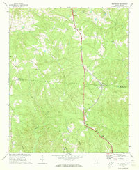
1969 · Fort Lawn
USGS Topo · 1:24,000
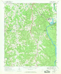
1969 · Great Falls
USGS Topo · 1:24,000