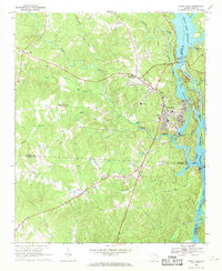
1969 Map of Great Falls
USGS Topo · Published 1971About this map
Great Falls anchors the eastern edge of this landscape, where the Catawba River is harnessed by a series of hydroelectric structures including a powerplant and substation. The industrial character of the river is balanced by rural communities and historical landmarks inland, such as Beckhamville and Rossville. The Seaboard Coast Line railroad traces a north-south path through the hills, connecting the industrial riverfront to the interior. Small country churches like Heath Chapel, Bethesda Ch, and Pleasant Grove Ch suggest the locations of established rural congregations.
Find a feature on this map
46 named features on this map. Tap any name to fly to it.
Don’t see what you’re looking for? This feature index may not catch every label — zoom into the map to look around manually.
Map Details
Editions of this 1969 Great Falls Map
This is the sole edition of this map. No revisions or reprints were ever made.
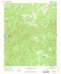
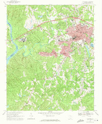
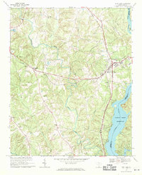
Other maps of this area

1904 · Columbia
USGS Topo · 1:125,000

1941 · Spartanburg
USGS Topo · 1:250,000

1942 · Camden
USGS Topo · 1:125,000

1953 · Spartanburg
USGS Topo · 1:250,000

1960 · Spartanburg
USGS Topo · 1:250,000

1963 · Spartanburg
USGS Topo · 1:250,000

1964 · Spartanburg
USGS Topo · 1:250,000
1968 · Lancaster SE
USGS Topo · 1:24,000
1969 · Lancaster
USGS Topo · 1:24,000
1969 · Fort Lawn
USGS Topo · 1:24,000