
1968 Map of Catawba
USGS Topo · Published 1970About this map
The Catawba River defines the eastern boundary of this South Carolina landscape, carving a path between York, Lancaster, and Chester counties in the late 1960s. The region is marked by a transition from small agrarian settlements like Roddey and Harmony to industrial infrastructure, visible at the Filtration Plant and adjacent Industrial Waste Ponds near the riverbank. This era shows a dense network of local institutions that anchored the community, including Lando Sch, the Community Center, and a high concentration of rural churches such as Tabernacle Ch and Liberty Hill Ch. Transportation is dominated by the Seaboard Coast Line and Southern railroads, which intersect the terrain alongside several major pipelines. Further south, the map identifies the remains of earlier industry at the Ruins and Quarry near the Landsford area, providing a record of the river's historical economic significance.
Find a feature on this map
41 named features on this map. Tap any name to fly to it.
Don’t see what you’re looking for? This feature index may not catch every label — zoom into the map to look around manually.
Map Details
Editions of this 1968 Catawba Map
This is the sole edition of this map. No revisions or reprints were ever made.
Other maps of this area

1941 · Spartanburg
USGS Topo · 1:250,000

1949 · Rock Hill
USGS Topo · 1:62,500

1953 · Spartanburg
USGS Topo · 1:250,000

1960 · Spartanburg
USGS Topo · 1:250,000

1963 · Spartanburg
USGS Topo · 1:250,000

1964 · Spartanburg
USGS Topo · 1:250,000

1968 · Van Wyck
USGS Topo · 1:24,000
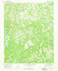
1968 · Catawba NE
USGS Topo · 1:24,000
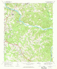
1968 · Rock Hill East
USGS Topo · 1:24,000
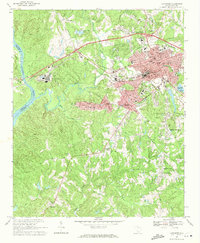
1969 · Lancaster
USGS Topo · 1:24,000