
1949 Map of Rock Hill
USGS Topo · Published 1949About this map
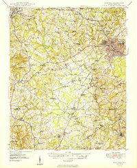
Rock Hill and York anchor this late-1940s landscape, which illustrates the intersection of post-war aviation and established agrarian traditions. The newly mapped Chester Airport sits in the southwest corner near Lowrys, while the broader countryside is densely populated with community landmarks like Bethesda Ch and Neals Chapel Sch. A notable historical detail is the presence of the Rosenwald Sch and the New Home Rosenwald Sch, significant markers of early 20th-century educational history in the rural South.
Find a feature on this map
81 named features on this map. Tap any name to fly to it.
Don’t see what you’re looking for? This feature index may not catch every label — zoom into the map to look around manually.
Map Details
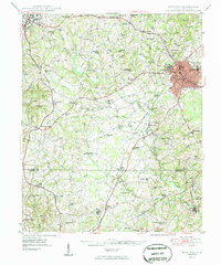
Editions of this 1949 Rock Hill Map
3 editions found
Other maps of this area

1905 · Charlotte
USGS Topo · 1:48,000

1906 · Kings Mountain
USGS Topo · 1:62,500

1907 · Sharon
USGS Topo · 1:62,500

1907 · Charlotte
USGS Topo · 1:62,500

1908 · Kings Mountain
USGS Topo · 1:62,500

1941 · Charlotte
USGS Topo · 1:125,000

1941 · Spartanburg
USGS Topo · 1:250,000

1942 · Charlotte
USGS Topo · 1:125,000

1947 · Clover
USGS Topo · 1:62,500

1949 · Clover
USGS Topo · 1:62,500