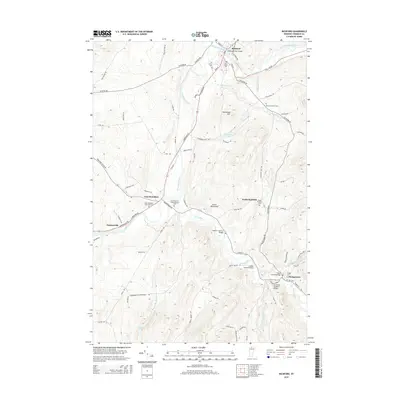
2015 Map of Richford
USGS Topo · Published 2015About this map
The Missisquoi River and Trout River define the local geography of this Franklin County landscape, where water power and river crossings shaped the development of early settlements. In the northern reaches, the town of Richford sits at the confluence of the Missisquoi and N Branch, while further south, the Trout River winds past several historic wooden structures including the Hopkins Covered Bridge, Longley Covered Bridge, and Comstock Covered Bridge.
Find a feature on this map
81 named features on this map. Tap any name to fly to it.
Don’t see what you’re looking for? This feature index may not catch every label — zoom into the map to look around manually.
Map Details
Editions of this 2015 Richford Map
This is the sole edition of this map. No revisions or reprints were ever made.
Other maps of this area

1919 · Montgomery
USGS Topo · 1:62,500

1920 · Franklin Pond
USGS Topo · 1:62,500

1920 · Montgomery
USGS Topo · 1:62,500

1922 · Enosburg Falls
USGS Topo · 1:48,000

1924 · Enosburg Falls
USGS Topo · 1:62,500

1925 · Jay Peak
USGS Topo · 1:62,500

1943 · Jay Peak
USGS Topo · 1:62,500

1944 · Enosburg Falls
USGS Topo · 1:62,500

1950 · Lake Champlain
USGS Topo · 1:250,000

1953 · Jay Peak
USGS Topo · 1:62,500