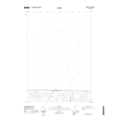
2021 Map of Richford OE N
USGS Topo · Published 2021About this map
The international border between Canada and the United States defines the northern extent of this landscape, where the rural terrain of Franklin County meets the Canadian frontier. Topography is dominated by the rise of Ayers Hill in the west, while the North Branch Missisquoi River cuts through the eastern valley. Settlement patterns are sparse and primarily follow old thoroughfares like Province St and Quaker St. Genealogical interests are centered on Hillside Cem, located near the intersection of several local routes. The network of roads, including the evocatively named Lost Nation Rd and Berry Rd, suggests a long history of upland farming and timber access leading right to the national boundary.
Find a feature on this map
15 named features on this map. Tap any name to fly to it.
Don’t see what you’re looking for? This feature index may not catch every label — zoom into the map to look around manually.
Map Details
Editions of this 2021 Richford OE N Map
This is the sole edition of this map. No revisions or reprints were ever made.
Other maps of this area

1919 · Montgomery
USGS Topo · 1:62,500

1920 · Franklin Pond
USGS Topo · 1:62,500

1920 · Montgomery
USGS Topo · 1:62,500

1922 · Enosburg Falls
USGS Topo · 1:48,000

1924 · Enosburg Falls
USGS Topo · 1:62,500

1925 · Jay Peak
USGS Topo · 1:62,500

1943 · Jay Peak
USGS Topo · 1:62,500

1944 · Enosburg Falls
USGS Topo · 1:62,500

1950 · Lake Champlain
USGS Topo · 1:250,000

1953 · Jay Peak
USGS Topo · 1:62,500