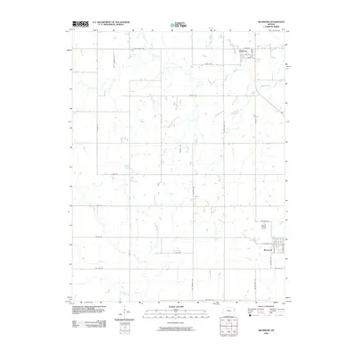
2009 Map of Richmond
USGS Topo · Published 2009About this map
Richmond and Princeton anchor this late 2000s survey of eastern Kansas, illustrating a rural landscape defined by an orderly grid of section-line roads and riparian corridors. The southern portion of the map centers on the community of Richmond, where residential streets like S Ransom St and S Cherry St branch off W Central Ave. To the north, the smaller settlement of Princeton is situated near Middle Creek, characterized by historic street names including Prince St and High St.
Find a feature on this map
34 named features on this map. Tap any name to fly to it.
Don’t see what you’re looking for? This feature index may not catch every label — zoom into the map to look around manually.
Map Details
Editions of this 2009 Richmond Map
This is the sole edition of this map. No revisions or reprints were ever made.
Other maps of this area

1885 · Garnett
USGS Topo · 1:125,000

1885 · Lawrence
USGS Topo · 1:125,000

1889 · Lawrence
USGS Topo · 1:125,000

1894 · Garnett
USGS Topo · 1:125,000

1947 · Lawrence
USGS Topo · 1:250,000

1950 · Lawrence
USGS Topo · 1:250,000

1956 · Pomona
USGS Topo · 1:24,000

1956 · Williamsburg
USGS Topo · 1:24,000

1956 · Ottawa South
USGS Topo · 1:24,000

1956 · Lawrence
USGS Topo · 1:250,000