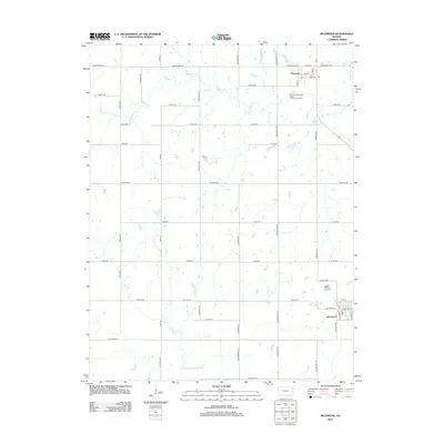
2012 Map of Richmond
USGS Topo · Published 2012About this map
Princeton and Richmond anchor this section of eastern Kansas, appearing as established rural centers defined by a systematic grid of section-line roads. The landscape is characterized by the meandering drainage of Middle Cr and Sac Cr, which cut through the agricultural tableland. A notable geographical detail is the Old Channel Sac Creek, indicating a natural or managed shift in the waterway's path over time. The infrastructure of the area is highlighted by the Princeton Municipal Water Treatment Facility, situated just south of the town center. Local history is reflected in the naming of arterial routes like John Brown Rd, which references the region's prominent role in pre-Civil War history, while Missouri Rd and Eisenhower Rd serve as primary north-south connectors through the undulating terrain.
Find a feature on this map
46 named features on this map. Tap any name to fly to it.
Don’t see what you’re looking for? This feature index may not catch every label — zoom into the map to look around manually.
Map Details
Editions of this 2012 Richmond Map
This is the sole edition of this map. No revisions or reprints were ever made.
Other maps of this area

1885 · Garnett
USGS Topo · 1:125,000

1885 · Lawrence
USGS Topo · 1:125,000

1889 · Lawrence
USGS Topo · 1:125,000

1894 · Garnett
USGS Topo · 1:125,000

1947 · Lawrence
USGS Topo · 1:250,000

1950 · Lawrence
USGS Topo · 1:250,000

1956 · Pomona
USGS Topo · 1:24,000

1956 · Williamsburg
USGS Topo · 1:24,000

1956 · Ottawa South
USGS Topo · 1:24,000

1956 · Lawrence
USGS Topo · 1:250,000