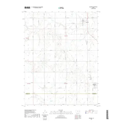
2018 Map of Richmond
USGS Topo · Published 2018About this map
Princeton and Richmond anchor this section of the Kansas plains, connected by the north-south corridor of the Prairie Spirit Rail Trail. The landscape is defined by the winding paths of Middle Cr and Payne Cr in the north, while the southern portion features the more complex drainage of Sac Cr. An interesting hydrographic remnant, the Old Channel Sac Creek, is visible just south of the Franklin Co Anderson Co boundary line, suggesting a history of natural or managed waterway shifts. The rural infrastructure follows a strict grid, yet the road names reflect a broader geography with labels like Indiana Rd, Iowa Rd, and Kentucky Rd marking the section lines. These names, alongside local landmarks like Farmers Field, provide a clear picture of the agricultural and transport network as it existed in the early 21st century.
Find a feature on this map
41 named features on this map. Tap any name to fly to it.
Don’t see what you’re looking for? This feature index may not catch every label — zoom into the map to look around manually.
Map Details
Editions of this 2018 Richmond Map
This is the sole edition of this map. No revisions or reprints were ever made.
Other maps of this area

1885 · Garnett
USGS Topo · 1:125,000

1885 · Lawrence
USGS Topo · 1:125,000

1889 · Lawrence
USGS Topo · 1:125,000

1894 · Garnett
USGS Topo · 1:125,000

1947 · Lawrence
USGS Topo · 1:250,000

1950 · Lawrence
USGS Topo · 1:250,000

1956 · Pomona
USGS Topo · 1:24,000

1956 · Williamsburg
USGS Topo · 1:24,000

1956 · Ottawa South
USGS Topo · 1:24,000

1956 · Lawrence
USGS Topo · 1:250,000