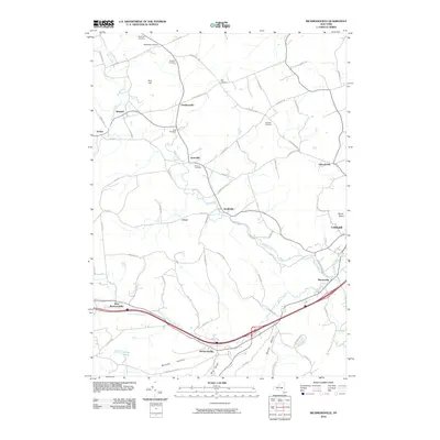
2010 Map of Richmondville
USGS Topo · Published 2010About this map
Richmondville sits at the southern edge of this Schoharie County landscape, where the valley of Schenevus Creek carves a path through the northern Catskills foothills. The area is defined by a network of small agricultural settlements and hamlets, including Seward, Hyndsville, and Lawyersville, linked by historic thoroughfares like the Luenburgh Tpke. Genealogists will find a high concentration of burial grounds, such as Beekman Cemetery and Clock Cemetery, which are often located near the family-named landmarks that dot the countryside, including Pine Hill and Mount Shank.
Find a feature on this map
68 named features on this map. Tap any name to fly to it.
Don’t see what you’re looking for? This feature index may not catch every label — zoom into the map to look around manually.
Map Details
Editions of this 2010 Richmondville Map
This is the sole edition of this map. No revisions or reprints were ever made.
Other maps of this area
1896 · Fonda
USGS Topo · 1:62,500
1898 · Fonda
USGS Topo · 1:62,500
1898 · Canajoharie
USGS Topo · 1:62,500
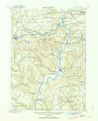
1898 · Schoharie
USGS Topo · 1:62,500
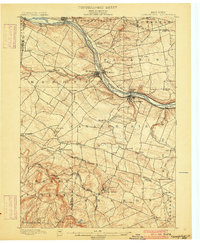
1900 · Canajoharie
USGS Topo · 1:62,500
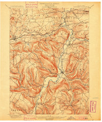
1900 · Schoharie
USGS Topo · 1:62,500
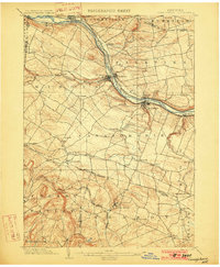
1902 · Canajoharie
USGS Topo · 1:62,500
1902 · Fonda
USGS Topo · 1:62,500
1904 · Richmondville
USGS Topo · 1:62,500
1943 · Cobleskill
USGS Topo · 1:24,000