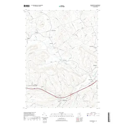
2019 Map of Richmondville
USGS Topo · Published 2019About this map
Richmondville and its surrounding hamlets sit within the steep valleys of Schoharie County, where the waters of Cobleskill Creek and West Creek have long dictated the patterns of settlement and transport. This modern survey illustrates a landscape deeply connected to its past, preserving a high concentration of family and community burial grounds such as the Richmondville Rural Cem and the New Rhinebeck Cem. The village of Lawyersville is prominent to the northeast, while smaller clusters like Hyndsville, Seward, and Gardnersville are linked by a network of rural roads that trace the contours of the hills.
Find a feature on this map
107 named features on this map. Tap any name to fly to it.
Don’t see what you’re looking for? This feature index may not catch every label — zoom into the map to look around manually.
Map Details
Editions of this 2019 Richmondville Map
This is the sole edition of this map. No revisions or reprints were ever made.
Other maps of this area

1896 · Fonda
USGS Topo · 1:62,500

1898 · Fonda
USGS Topo · 1:62,500

1898 · Canajoharie
USGS Topo · 1:62,500

1898 · Schoharie
USGS Topo · 1:62,500

1900 · Canajoharie
USGS Topo · 1:62,500

1900 · Schoharie
USGS Topo · 1:62,500

1902 · Canajoharie
USGS Topo · 1:62,500

1902 · Fonda
USGS Topo · 1:62,500

1904 · Richmondville
USGS Topo · 1:62,500

1943 · Cobleskill
USGS Topo · 1:24,000