Loading...
Loading map...2024 Map of Richton
USGS Topo · Published 2024About this map
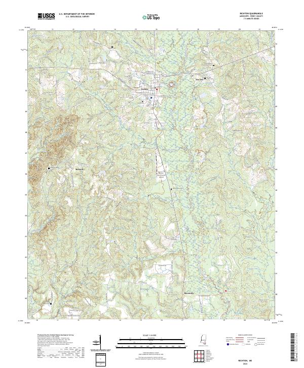
Richton serves as the primary hub of this Perry County landscape, where a dense grid of streets like Gertrude St and Mulberry Ave centers around the local industry and aviation at the Richton-Perry County Airport. The surrounding terrain is defined by the winding paths of Thompson Creek and Bogue Homo, which dictate the placement of smaller outlying settlements such as East Side and Hintonville.
Find a feature on this map
81 named features on this map. Tap any name to fly to it.
Don’t see what you’re looking for? This feature index may not catch every label — zoom into the map to look around manually.
Map Details
Date Portrayed2024
Date Published2024
PublisherU.S. Geological Survey
Map TypeTopographic
Scale1:24000
Physical Dimensions24 x 29 inches
Editions of this 2024 Richton Map
This is the sole edition of this map. No revisions or reprints were ever made.
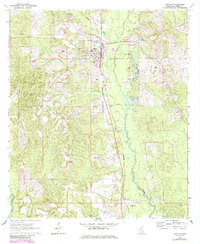
Historical Maps of Hintonville Through Time
Featured Locations
Source Details
SourceU.S. Geological Survey
CopyrightPublic Domain