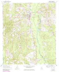
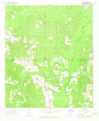
1964 Map of Richton
USGS Topo · Published 1985About this map
The town of Richton serves as the focal point for this survey of Perry County, Mississippi, capturing a landscape defined by small settlements and the emerging infrastructure of the mid-20th century. Just south of the town center, the Richton-Perry Co Airport and the Richton Lookout Tower mark the high ground between the drainage basins of Thompson Creek and Beaver Dam Creek. The map documents a rural society anchored by numerous country churches, including Clay Hill Ch and Seminary Ch, alongside family-linked landmarks like McSwain Cem. Industrial activity is evident through a series of Gravel Pits and localized Oil Wells, while the presence of a Railroad Grade northwest of town suggests the changing transport patterns as older rail lines were phased out for road improvements.
Find a feature on this map
32 named features on this map. Tap any name to fly to it.
Don’t see what you’re looking for? This feature index may not catch every label — zoom into the map to look around manually.
Map Details
Editions of this 1964 Richton Map
3 editions found
Other maps of this area

1947 · Beaumont
USGS Topo · 1:62,500

1947 · New Augusta
USGS Topo · 1:62,500

1949 · Beaumont
USGS Topo · 1:62,500

1949 · New Augusta
USGS Topo · 1:62,500

1953 · Hattiesburg
USGS Topo · 1:250,000

1958 · Hattiesburg
USGS Topo · 1:250,000
1963 · Brewer
USGS Topo · 1:24,000
1964 · Rhodes
USGS Topo · 1:24,000
1964 · Ovett SE
USGS Topo · 1:24,000
1964 · Ovett
USGS Topo · 1:24,000