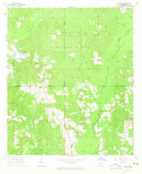
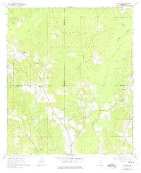
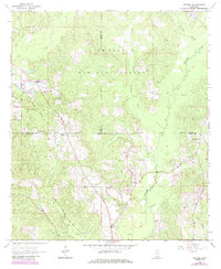
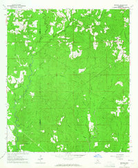
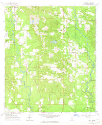
1964 Map of Rhodes
USGS Topo · Published 1965About this map
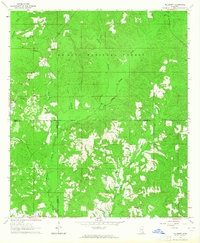
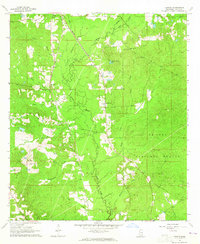
The boundary lines of Jones, Wayne, and Perry counties converge within the densely wooded De Soto National Forest, an area defined by small rural settlements and a network of logging and resource roads in the mid-1960s. The Gulf Mobile and Ohio railroad cuts diagonally across the northwestern corner, passing through the community of Blodgett. Further south, the map centers on the small hamlet of Rhodes and the nearby Good Hope settlement, which is anchored by Good Hope Ch.
Find a feature on this map
31 named features on this map. Tap any name to fly to it.
Don’t see what you’re looking for? This feature index may not catch every label — zoom into the map to look around manually.
Map Details
Editions of this 1964 Rhodes Map
3 editions found
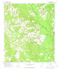
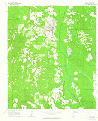
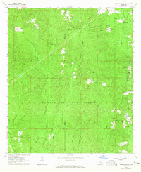
Other maps of this area

1953 · Hattiesburg
USGS Topo · 1:250,000

1958 · Hattiesburg
USGS Topo · 1:250,000
1963 · Brewer
USGS Topo · 1:24,000
1964 · Ovett SE
USGS Topo · 1:24,000
1964 · Ovett
USGS Topo · 1:24,000
1964 · Richton
USGS Topo · 1:24,000
1964 · Strengthford
USGS Topo · 1:24,000
1964 · Mulberry
USGS Topo · 1:24,000
1964 · Lanham
USGS Topo · 1:24,000
1984 · Citronelle
USGS Topo · 1:100,000