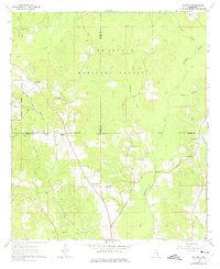
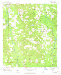
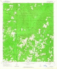
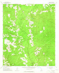
1964 Map of Rhodes
USGS Topo · Published 1975About this map
De Soto National Forest blankets this corner of Mississippi, where the boundaries of Jones, Wayne, and Perry counties converge. The landscape is defined by the headwaters of numerous creeks, including Tiger Creek and Thompson Creek, which drain the timbered uplands. The Gulf Mobile and Ohio railroad cuts a diagonal path through the southwestern quadrant, providing a critical transport link for the rural settlements of Blodgett and Rhodes. Local social life in the early 1960s centered on scattered country churches like Welcome Home Ch and Little Jerusalem Ch, while the Tiger Creek Lookout Tower stood as a prominent landmark for fire observation. Small family burial grounds such as Brown Cem and Edwards Cem are preserved among the trees, offering valuable points of reference for genealogists studying these pinewoods communities.
Find a feature on this map
30 named features on this map. Tap any name to fly to it.
Don’t see what you’re looking for? This feature index may not catch every label — zoom into the map to look around manually.
Map Details
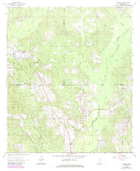
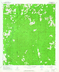
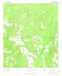
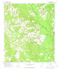
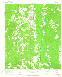
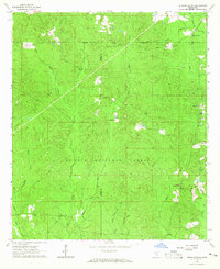
Editions of this 1964 Rhodes Map
3 editions found
Other maps of this area

1953 · Hattiesburg
USGS Topo · 1:250,000

1958 · Hattiesburg
USGS Topo · 1:250,000
1963 · Brewer
USGS Topo · 1:24,000
1964 · Rhodes
USGS Topo · 1:24,000
1964 · Ovett SE
USGS Topo · 1:24,000
1964 · Ovett
USGS Topo · 1:24,000
1964 · Richton
USGS Topo · 1:24,000
1964 · Strengthford
USGS Topo · 1:24,000
1964 · Mulberry
USGS Topo · 1:24,000
1964 · Lanham
USGS Topo · 1:24,000