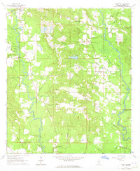
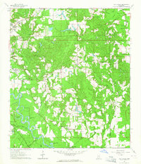
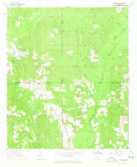
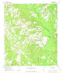
1964 Map of Ovett SE
USGS Topo · Published 1965About this map
Tallahala Creek and Bogue Homo define the hydrological character of this corner of Perry County, Mississippi, winding through a landscape of dense piney woods and creek bottoms. At the time of this mid-century field check, the area remained deeply rural, centered on small settlements like Runnelstown and Burdman. Local life is anchored by family burial grounds and community houses of worship, including McGivary Cem, Burch Cem, and Bethel Ch.
Find a feature on this map
52 named features on this map. Tap any name to fly to it.
Don’t see what you’re looking for? This feature index may not catch every label — zoom into the map to look around manually.
Map Details
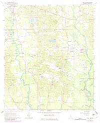
Editions of this 1964 Ovett SE Map
3 editions found
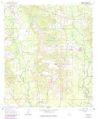
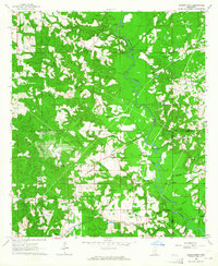
Other maps of this area

1947 · Beaumont
USGS Topo · 1:62,500

1947 · New Augusta
USGS Topo · 1:62,500

1949 · Beaumont
USGS Topo · 1:62,500

1949 · New Augusta
USGS Topo · 1:62,500

1953 · Hattiesburg
USGS Topo · 1:250,000

1958 · Hattiesburg
USGS Topo · 1:250,000
1963 · Barrontown
USGS Topo · 1:24,000
1964 · Carterville
USGS Topo · 1:24,000
1964 · Rhodes
USGS Topo · 1:24,000
1964 · Ovett
USGS Topo · 1:24,000