
1964 Map of Carterville
USGS Topo · Published 1964About this map
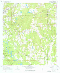
The Leaf River carves a winding path through this corner of Forrest County, defining a landscape of oxbow lakes and bottomlands including Aldrich Lake and Owens Bluff Lake. In the mid-1960s, the rural-urban fringe of Petal is visible in the northwest, while small community hubs like Sunrise, Pine Grove, and Batson anchor the interior. The presence of the Bonhomie and Hattiesburg Southern Railroad and the Hattiesburg Municipal Airport signals the era's transport infrastructure, bridging the gap between the timber-rich river basin and the growing city.
Find a feature on this map
51 named features on this map. Tap any name to fly to it.
Don’t see what you’re looking for? This feature index may not catch every label — zoom into the map to look around manually.
Map Details
Editions of this 1964 Carterville Map
5 editions found
Other maps of this area

1947 · New Augusta
USGS Topo · 1:62,500

1949 · New Augusta
USGS Topo · 1:62,500

1953 · Hattiesburg
USGS Topo · 1:250,000

1958 · Hattiesburg
USGS Topo · 1:250,000

1963 · Barrontown
USGS Topo · 1:24,000

1964 · Ovett SE
USGS Topo · 1:24,000

1964 · Ovett
USGS Topo · 1:24,000

1964 · Hattiesburg
USGS Topo · 1:24,000

1965 · Dixie
USGS Topo · 1:24,000

1965 · Eastabuchie
USGS Topo · 1:24,000