
1947 Map of New Augusta
USGS Topo · Published 1965About this map
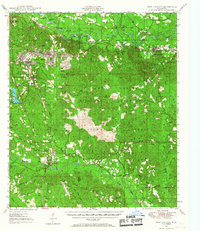
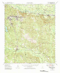
The Camp Shelby Military Reservation dominates the central landscape of this 1940s survey, illustrating the significant military footprint in southern Mississippi during and after the war years. Much of the surrounding acreage is held within the De Soto National Forest, where the terrain is marked by the winding courses of the Leaf River and Black Creek. This era of the map shows a transition in local infrastructure, noting an abandoned CCC Camp near the community of Brooklyn, which reflects the winding down of Depression-era public works projects.
Find a feature on this map
71 named features on this map. Tap any name to fly to it.
Don’t see what you’re looking for? This feature index may not catch every label — zoom into the map to look around manually.
Map Details
Editions of this 1947 New Augusta Map
3 editions found
Other maps of this area

1947 · Beaumont
USGS Topo · 1:62,500

1947 · Wiggins
USGS Topo · 1:62,500

1947 · Benndale
USGS Topo · 1:62,500

1949 · Wiggins
USGS Topo · 1:62,500

1949 · Beaumont
USGS Topo · 1:62,500

1949 · New Augusta
USGS Topo · 1:62,500

1949 · Benndale
USGS Topo · 1:62,500

1953 · Hattiesburg
USGS Topo · 1:250,000

1953 · Mobile
USGS Topo · 1:250,000

1957 · Mobile
USGS Topo · 1:250,000