Loading...
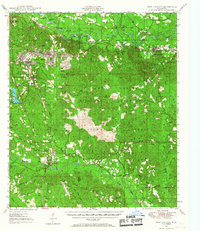
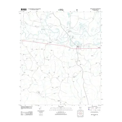
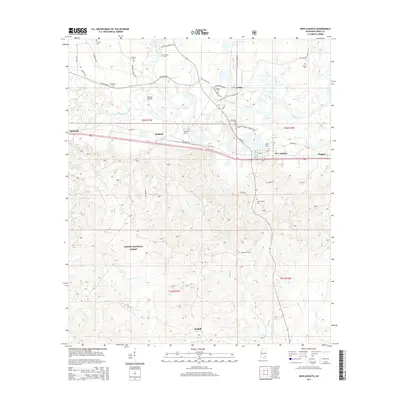
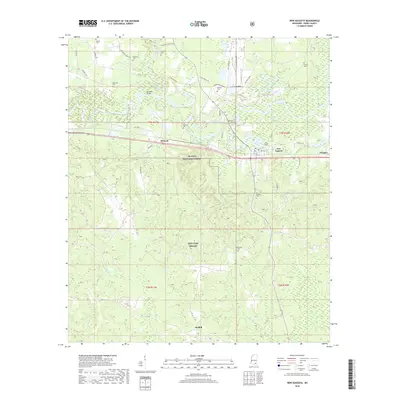
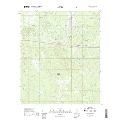
Loading map...1947 Map of New Augusta
USGS Topo · Published 1967About this map
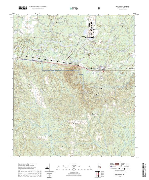
New Augusta and the surrounding piney woods of De Soto National Forest dominate this post-war landscape, where the Leaf River and Tallahala Creek converge. The era’s reliance on rail is evident through the crossing of the Mississippi Central Railroad and the Southern Railway, which served timber interests and small communities like McCallum, Mahned, and Wingate. Further south, the map reveals the extensive reach of the Camp Shelby Military Reservation, which covers much of the central terrain.
Find a feature on this map
65 named features on this map. Tap any name to fly to it.
Don’t see what you’re looking for? This feature index may not catch every label — zoom into the map to look around manually.
Map Details
Date Portrayed1947
Date Published1967
PublisherU.S. Geological Survey
Map TypeTopographic
Scale1:62,500
Physical Dimensions17.9 x 20.8 inches
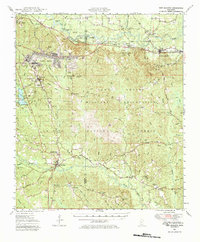
Editions of this 1947 New Augusta Map
3 editions found

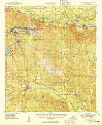
Historical Maps of Hattiesburg Through Time
9 maps found

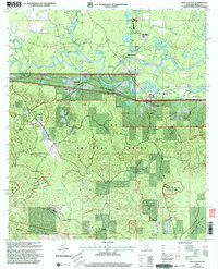
Featured Locations
Source Details
SourceU.S. Geological Survey
CopyrightPublic Domain