1983 Map of New Augusta
USGS Topo · Published 1983About this map
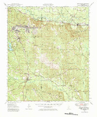
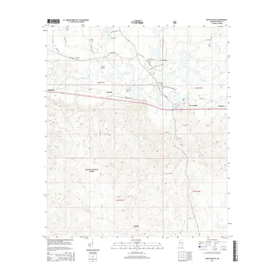
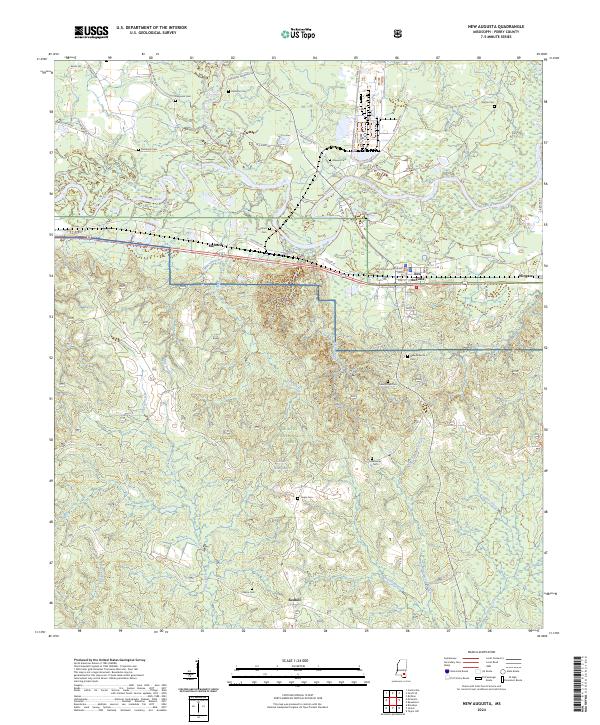
The Leaf River and its winding oxbows dominate this Perry County landscape, defining the shift between the old and new centers of local life. While New Augusta serves as the modern hub with its Perry County Sch, the site of Old Augusta to the north remains a critical point of interest for researchers, situated near a series of family burial grounds including Stevens Cem and McSwain Cem. The southern half of the map is largely occupied by the wooded expanse of the De Soto National Forest, where drainage systems like Sweetwater Branch and Pearces Creek flow through the timberland. Transportation history is anchored by the Illinois Central Gulf railroad, which parallels the river and connects the settlement of Mahned to the regional network. Numerous smaller cemeteries such as Nichols Cem and Hollimon Cem are scattered across the northern sections, providing vital location data for genealogists tracing local families.
Find a feature on this map
37 named features on this map. Tap any name to fly to it.
Don’t see what you’re looking for? This feature index may not catch every label — zoom into the map to look around manually.
Map Details
Editions of this 1983 New Augusta Map
This is the sole edition of this map. No revisions or reprints were ever made.
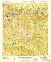
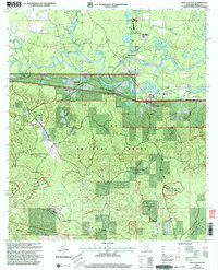
Historical Maps of New Augusta Through Time
9 maps found