Loading...
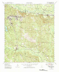
Loading map...1947 Map of New Augusta
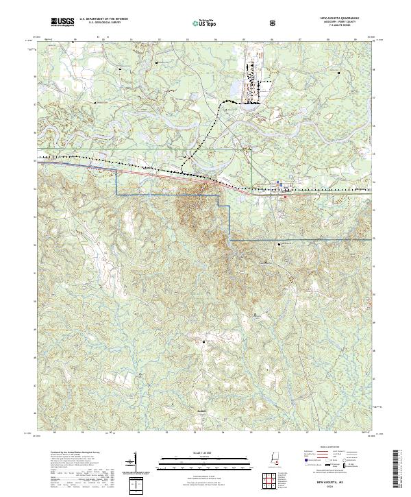
USGS Topo · Published 1984About this map
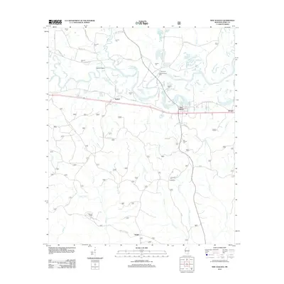
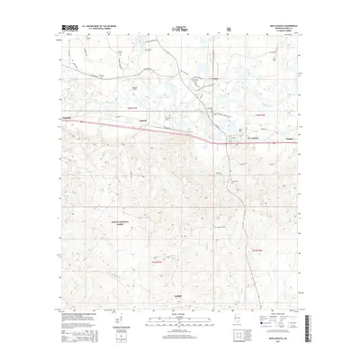
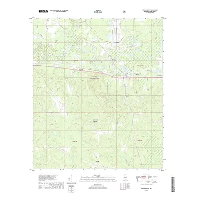
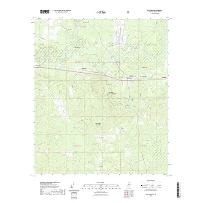
The Camp Shelby Military Reservation dominates this 1940s landscape, illustrating the significant military footprint in south Mississippi during and after the war. The sprawling facility is flanked by the De Soto National Forest, showing a region defined by federal land management and strategic topography. Settled areas like New Augusta and Brooklyn are linked by the Illinois Central and Hattiesburg Southern railroads, which parallel the winding Leaf River and Black Creek.
Find a feature on this map
61 named features on this map. Tap any name to fly to it.
Don’t see what you’re looking for? This feature index may not catch every label — zoom into the map to look around manually.
Map Details
Date Portrayed1947
Date Published1984
PublisherU.S. Geological Survey
Map TypeTopographic
Scale1:62,500
Physical Dimensions18 x 21.7 inches
Editions of this 1947 New Augusta Map
3 editions found

Historical Maps of Hattiesburg Through Time
9 maps found

Featured Locations
Source Details
SourceU.S. Geological Survey
CopyrightPublic Domain