
1965 Map of Eastabuchie
USGS Topo · Published 1966About this map
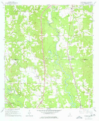
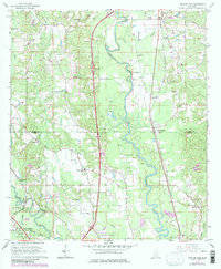
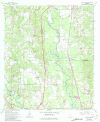
The Leaf River carves a winding course through this mid-1960s landscape, marking the boundary between Jones and Forrest counties. The settlement of Eastabuchie sits centrally along the Southern railroad line, while the Illinois Central serves the western corridor near Rawls Springs. This era shows a community in transition, evidenced by the presence of a Drag Strip north of the Mineral Creek junction and several radio facilities, including the WDAM-TV Radio Tower.
Find a feature on this map
43 named features on this map. Tap any name to fly to it.
Don’t see what you’re looking for? This feature index may not catch every label — zoom into the map to look around manually.
Map Details
Editions of this 1965 Eastabuchie Map
4 editions found
Other maps of this area

1953 · Hattiesburg
USGS Topo · 1:250,000

1958 · Hattiesburg
USGS Topo · 1:250,000

1963 · Barrontown
USGS Topo · 1:24,000

1964 · Carterville
USGS Topo · 1:24,000

1964 · Seminary
USGS Topo · 1:24,000

1964 · Ellisville
USGS Topo · 1:24,000

1964 · Hattiesburg
USGS Topo · 1:24,000

1965 · Hattiesburg SW
USGS Topo · 1:24,000

1965 · Moselle
USGS Topo · 1:24,000

1965 · Sanford
USGS Topo · 1:24,000