
1965 Map of Hattiesburg SW
USGS Topo · Published 1966About this map
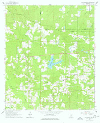
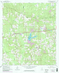
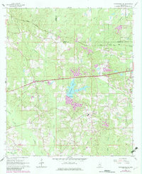
The Mississippi Central railroad cuts through the heart of the Pine Belt on this mid-century survey, linking the small community of Clyde with Wardwell as it travels toward Hattiesburg. This landscape is defined by the headwaters of Black Creek, where the terrain transitions from timberland and rural homesteads to the expanding suburban edge of the city. Notable for its family-named landmarks and rural gathering places, the area includes historical nodes like Oak Grove and several local congregations such as Oral Ch and Bellevue Ch.
Find a feature on this map
30 named features on this map. Tap any name to fly to it.
Don’t see what you’re looking for? This feature index may not catch every label — zoom into the map to look around manually.
Map Details
Editions of this 1965 Hattiesburg SW Map
4 editions found
Other maps of this area

1953 · Hattiesburg
USGS Topo · 1:250,000

1958 · Hattiesburg
USGS Topo · 1:250,000

1964 · Purvis
USGS Topo · 1:24,000

1964 · Hattiesburg
USGS Topo · 1:24,000

1965 · Dixie
USGS Topo · 1:24,000

1965 · Eastabuchie
USGS Topo · 1:24,000

1965 · Sanford
USGS Topo · 1:24,000

1969 · Baxterville NE
USGS Topo · 1:24,000

1974 · Sumrall
USGS Topo · 1:24,000

1974 · Oloh
USGS Topo · 1:24,000