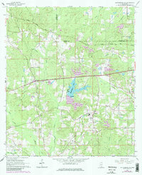
1965 Map of Hattiesburg SW
USGS Topo · Published 1982About this map
Hennington Lake sits at the center of this landscape, its waters contained by a spillway at elevation 304 and surrounded by a network of drainage systems including Sandy Run and Dry Mill Branch. The mid-1960s terrain is marked by the border of Lamar and Forrest Counties, where small settlements like Clyde and Oak Grove are connected by the Illinois Central Gulf railroad. This era of development is characterized by numerous gravel pits and the growth of residential areas such as the Trailer Park near the Forest Memorial Park Cemetery. Local genealogy is anchored by rural landmarks including Oral Ch, New Zion Ch, and the Grantham Cem, reflecting the area's spiritual and community centers before the expansion of the nearby city reached this southwestern quadrant.
Find a feature on this map
33 named features on this map. Tap any name to fly to it.
Don’t see what you’re looking for? This feature index may not catch every label — zoom into the map to look around manually.
Map Details
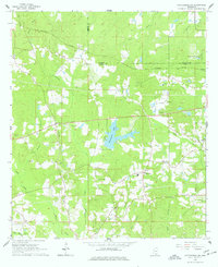
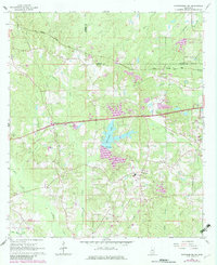
Editions of this 1965 Hattiesburg SW Map
4 editions found
Other maps of this area

1953 · Hattiesburg
USGS Topo · 1:250,000

1958 · Hattiesburg
USGS Topo · 1:250,000

1964 · Purvis
USGS Topo · 1:24,000

1964 · Hattiesburg
USGS Topo · 1:24,000

1965 · Hattiesburg SW
USGS Topo · 1:24,000

1965 · Dixie
USGS Topo · 1:24,000

1965 · Eastabuchie
USGS Topo · 1:24,000

1965 · Sanford
USGS Topo · 1:24,000

1969 · Baxterville NE
USGS Topo · 1:24,000

1974 · Sumrall
USGS Topo · 1:24,000