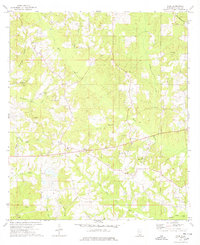
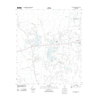
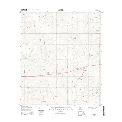
1974 Map of Oloh
USGS Topo · Published 1978About this map
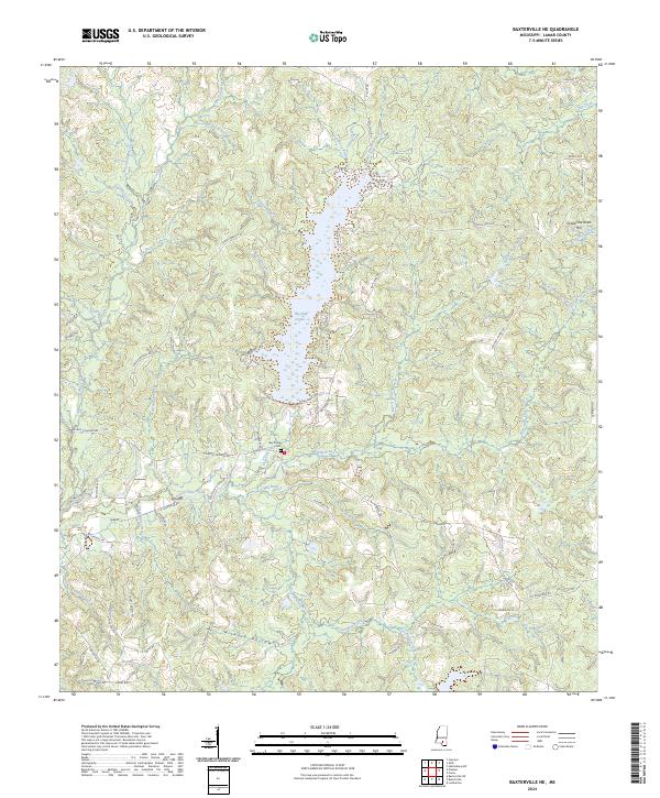
Oloh sits at the heart of this mid-1970s Lamar County landscape, where the Oloh Lookout Tower stands as a prominent local landmark near the crossing of rural roads. The area's settlement pattern is defined by several family-named cemeteries and small community churches, including the West Black Creek Ch and Midway Ch. These features suggest a deeply rooted rural population tied to the land and its numerous waterways.
Find a feature on this map
27 named features on this map. Tap any name to fly to it.
Don’t see what you’re looking for? This feature index may not catch every label — zoom into the map to look around manually.
Map Details
Editions of this 1974 Oloh Map
This is the sole edition of this map. No revisions or reprints were ever made.
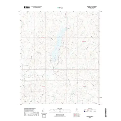
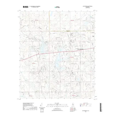
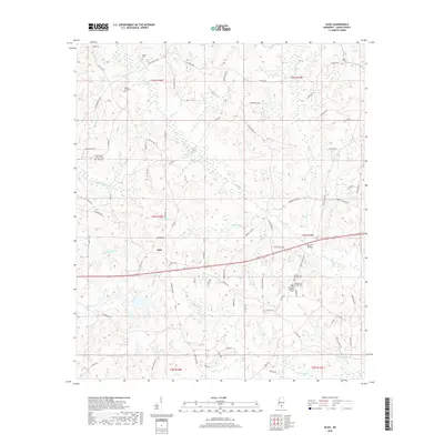
Historical Maps of Oloh Through Time
18 maps found
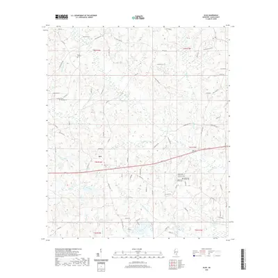
1965 Hattiesburg SW
Lamar County, MS
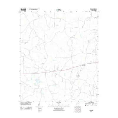
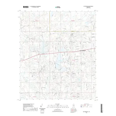
1969 Baxterville NE
Lamar County, MS
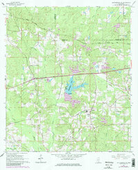
1974 Oloh
Lamar County, MS
2012 Baxterville NE
Lamar County, MS
2012 Hattiesburg SW
Lamar County, MS
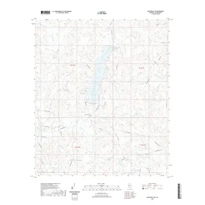
2012 Oloh
Lamar County, MS
2015 Baxterville NE
Lamar County, MS
2015 Hattiesburg SW
Lamar County, MS
2015 Oloh
Lamar County, MS
2018 Baxterville NE
Lamar County, MS
2018 Hattiesburg SW
Lamar County, MS
2018 Oloh
Lamar County, MS
2020 Baxterville NE
Lamar County, MS
2020 Hattiesburg SW
Lamar County, MS
2020 Oloh
Lamar County, MS
2024 Baxterville NE
Lamar County, MS
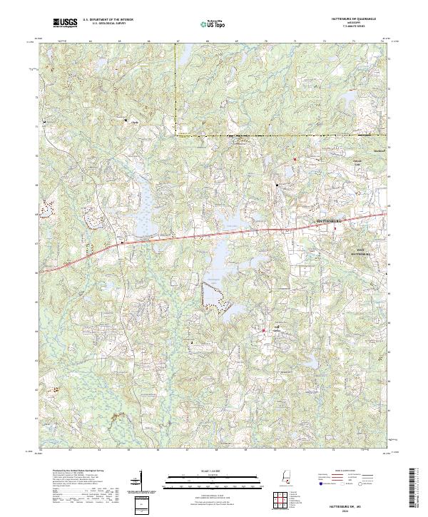
2024 Hattiesburg SW
Lamar County, MS
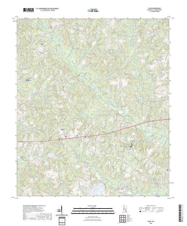
2024 Oloh
Lamar County, MS