
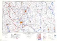
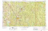
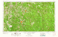
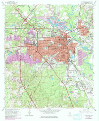
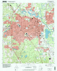
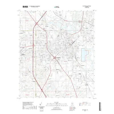
1984 Map of Hattiesburg
USGS Topo · Published 1984About this map
The confluence of the Bowie River and Leaf River centers this mid-1980s look at the Pine Belt, where the urban hubs of Hattiesburg and Laurel anchor a landscape defined by forestry and fossil fuels. Extensive timberlands within the De Soto National Forest dominate the southern and eastern quadrants, while industrial activity is noted at the Heidelberg Oil Field and the Baxterville Oil and Gas Field.
Find a feature on this map
82 named features on this map. Tap any name to fly to it.
Don’t see what you’re looking for? This feature index may not catch every label — zoom into the map to look around manually.
Map Details
Editions of this 1984 Hattiesburg Map
2 editions found
Historical Maps of Hattiesburg Through Time
12 maps found
1953 Hattiesburg
Forrest County, MS
1958 Hattiesburg
Forrest County, MS
1964 Hattiesburg
Forrest County, MS
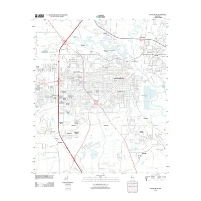
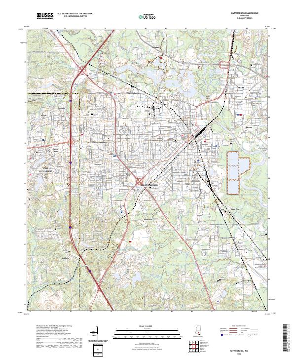
1984 Hattiesburg
Forrest County, MS

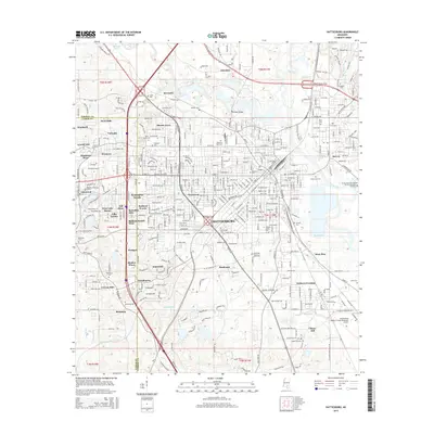
1984 Hattiesburg
Forrest County, MS

1994 Hattiesburg
Forrest County, MS
1996 Hattiesburg
Forrest County, MS
2012 Hattiesburg
Forrest County, MS
2015 Hattiesburg
Forrest County, MS
2018 Hattiesburg
Forrest County, MS
2020 Hattiesburg
Forrest County, MS
2024 Hattiesburg
Forrest County, MS