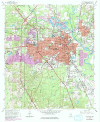
1964 Map of Hattiesburg
USGS Topo · Published 1983About this map
Hattiesburg serves as the hub for this 1960s landscape, positioned where the Bowie River and Leaf River meet. The map reveals a city defined by education and commerce, featuring the University of Southern Mississippi and William Carey College, while the Illinois Central Gulf Railroad and Southern Railway underscore the area's logistical importance.
Find a feature on this map
90 named features on this map. Tap any name to fly to it.
Don’t see what you’re looking for? This feature index may not catch every label — zoom into the map to look around manually.
Map Details
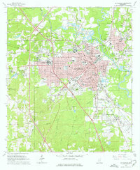
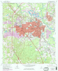
Editions of this 1964 Hattiesburg Map
4 editions found
Other maps of this area

1947 · New Augusta
USGS Topo · 1:62,500

1949 · New Augusta
USGS Topo · 1:62,500

1953 · Hattiesburg
USGS Topo · 1:250,000

1958 · Hattiesburg
USGS Topo · 1:250,000

1963 · Barrontown
USGS Topo · 1:24,000

1964 · Carterville
USGS Topo · 1:24,000

1964 · Purvis
USGS Topo · 1:24,000

1964 · Hattiesburg
USGS Topo · 1:24,000

1965 · Hattiesburg SW
USGS Topo · 1:24,000

1965 · Dixie
USGS Topo · 1:24,000