Old Maps of Marion County, Alabama
Explore 41 old maps of Marion County, spanning from 1936 to today. These high-resolution historic maps reveal how streets, neighborhoods, landmarks, and natural features evolved over time — perfect for genealogy, metal detecting, research, and local history exploration.
What you can do with these maps:
- See how Marion County changed over time: Compare historical maps to modern-day views to trace roads, homesites, rail lines & more.
- View detailed metadata: Each map includes creators, publishers, year, scale, and archive source.
- Overlay maps with satellite & LiDAR: Visualize the past alongside modern tools to explore terrain & human change.
- Trusted historical sources: Maps sourced from the USGS, Library of Congress, and other archives.
- Access maps your way: View online, download high-res files, or order prints for personal or research use.
Start exploring old maps of Marion County to uncover forgotten places, hidden landmarks, and the deep history beneath your feet.
Marion County, AL maps
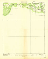
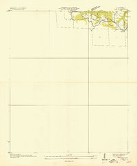
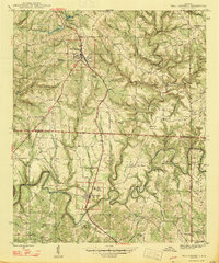
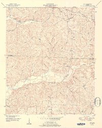
(41)- 1936 Map of Hodges
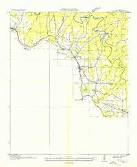 1936 Hodges1936 Print · USGSCovers Marion County, including Hackleburg, Hodges, and other nearby areas
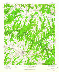
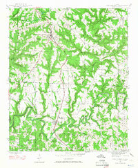
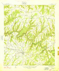
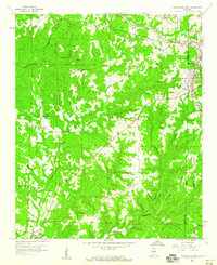
 - 1936 Map of Phil Campbell
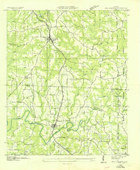 1936 Phil Campbell1936 Print · USGSCovers Marion County, including Haleyville, Bear Creek, and other nearby areas
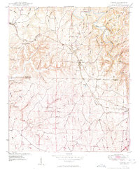
 - 1936 Map of South Of Hackleburg
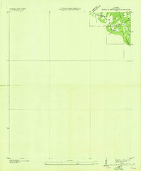 1936 South Of Hackleburg1936 Print · USGSCovers Marion County, including Hackleburg, Bear Creek, and other nearby areas
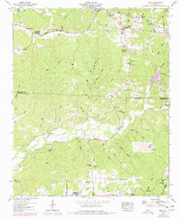
 - 1936 Map of Hackleburg
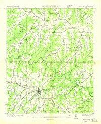 1936 Hackleburg1936 Print · USGSCovers Marion County, including Hackleburg, Bear Creek, and other nearby areas
 - 1936 Map of Goddard
 1936 Goddard1936 Print · USGSCovers Marion County, including Haleyville, Bear Creek, and other nearby areas
 - 1936 Map of Vina
 1936 Vina1936 Print · USGSCovers Marion County, including Vina, Franklin County, and other nearby areas
 - 1946 Map of Hackleburg, 1960 Print
 1946 Hackleburg1960 Print · USGSCovers Marion County, including Hackleburg, Bear Creek, and other nearby areas3 unique versions available
 - 1946 Map of Phil Campbell, 1967 Print
 1946 Phil Campbell1967 Print · USGSCovers Marion County, including Haleyville, Bear Creek, and other nearby areas3 unique versions available
 - 1947 Map of Phil Campbell
 1947 Phil Campbell1947 Print · USGSCovers Marion County, including Haleyville, Bear Creek, and other nearby areas2 unique versions available
 - 1948 Map of Hackleburg
 1948 Hackleburg1948 Print · USGSCovers Marion County, including Hackleburg, Bear Creek, and other nearby areas2 unique versions available
 - 1949 Map of Hodges
 1949 Hodges1949 Print · USGSCovers Marion County, including Hackleburg, Hodges, and other nearby areas2 unique versions available
 - 1950 Map of Vina, 1977 Print
 1950 Vina1977 Print · USGSCovers Marion County, including Vina, Franklin County, and other nearby areas
 - 1951 Map of Vina
 1951 Vina1951 Print · USGSCovers Marion County, including Vina, Franklin County, and other nearby areas2 unique versions available
 - 1953 Map of Birmingham, 1964 Print
 1953 Birmingham1964 Print · USGSCovers Marion County, including Birmingham, Tuscaloosa, and other nearby areas4 unique versions available
 - 1956 Map of Birmingham
 1956 Birmingham1956 Print · USGSCovers Marion County, including Birmingham, Tuscaloosa, and other nearby areas
 - 1956 Map of Gadsden, 1966 Print
 1956 Gadsden1966 Print · USGSCovers Marion County, including Huntsville, Decatur, and other nearby areas3 unique versions available
 - 1956 Map of Tupelo, 1967 Print
 1956 Tupelo1967 Print · USGSCovers Marion County, including Memphis, Southaven, and other nearby areas2 unique versions available
 - 1957 Map of Birmingham
 1957 Birmingham1957 Print · USGSCovers Marion County, including Birmingham, Tuscaloosa, and other nearby areas
 - 1958 Map of Tupelo
 1958 Tupelo1958 Print · USGSCovers Marion County, including Memphis, Southaven, and other nearby areas
 - 1958 Map of Gadsden
 1958 Gadsden1958 Print · USGSCovers Marion County, including Huntsville, Decatur, and other nearby areas
 - 1958 Map of Haleyville West, 1960 Print
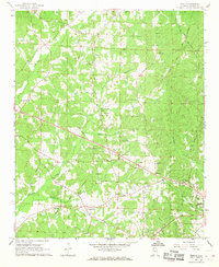
 1958 Haleyville West1960 Print · USGSCovers Marion County, including Haleyville, Bear Creek, and other nearby areas3 unique versions available
 - 1958 Map of Gold Mine, 1960 Print
 1958 Gold Mine1960 Print · USGSCovers Marion County, including Brilliant, Brookside, and other nearby areas4 unique versions available
 - 1960 Map of Gadsden
 1960 Gadsden1960 Print · USGSCovers Marion County, including Huntsville, Decatur, and other nearby areas2 unique versions available
 - 1963 Map of Gadsden
 1963 Gadsden1963 Print · USGSCovers Marion County, including Huntsville, Decatur, and other nearby areas
 - 1967 Map of Weston, 1968 Print
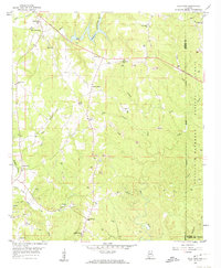
 1967 Weston1968 Print · USGSCovers Marion County, including Hamilton, Barnesville, and other nearby areas2 unique versions available
Showing maps 1-25 of 41
Top cities of Marion County
- Hamilton historical maps
- Guin historical maps
- Hackleburg historical maps
- Bear Creek historical maps
- Brilliant historical maps
- Twin historical maps
See more
Frequently asked questions
- What are the different types of historical maps available for Marion County?
- What is the oldest map of Marion County?
- Where can I purchase historical maps of Marion County for my home or office?
- Where can I download high-res historical maps of Marion County?
- Are there historical topographic maps available for Marion County?
- Is there historical aerial imagery available for Marion County?
- Where are historical maps of Marion County sourced from?