
1965 Map of Sanford
USGS Topo · Published 1966About this map
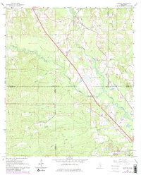
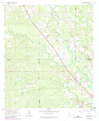
Bowie Creek and Okatoma Creek converge within this mid-1960s landscape, shaping a region defined by its complex network of waterways and the Illinois Central railroad corridor. The area is characterized by small, dispersed communities like Sanford, Nichols, and Lux, which sit at the intersection of several county lines. Local family history is etched into the terrain through numerous burial grounds, including Byrd Cem, Lott Cem, and Edmonson Cem, often located near the winding creek beds.
Find a feature on this map
34 named features on this map. Tap any name to fly to it.
Don’t see what you’re looking for? This feature index may not catch every label — zoom into the map to look around manually.
Map Details
Editions of this 1965 Sanford Map
3 editions found
Other maps of this area

1953 · Hattiesburg
USGS Topo · 1:250,000

1958 · Hattiesburg
USGS Topo · 1:250,000

1964 · Seminary
USGS Topo · 1:24,000

1964 · Hattiesburg
USGS Topo · 1:24,000

1965 · Hattiesburg SW
USGS Topo · 1:24,000

1965 · Eastabuchie
USGS Topo · 1:24,000

1965 · Moselle
USGS Topo · 1:24,000

1974 · Sumrall
USGS Topo · 1:24,000

1974 · Oloh
USGS Topo · 1:24,000

1974 · Williamsburg
USGS Topo · 1:24,000