
1965 Map of Moselle
USGS Topo · Published 1966About this map
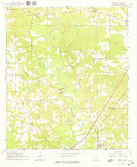
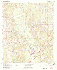
The Leaf River carves a winding path through the center of this 1960s Jones County survey, defining a landscape where rural settlements and industry coexist. The community of Moselle anchors the southeastern corner along the Southern railroad line, while the smaller hamlet of Rainey sits further west. This era shows significant local infrastructure development, evidenced by a Pipeline cutting across the terrain and sections of road marked Under Construction, reflecting the mid-century expansion of the region's transport network.
Find a feature on this map
39 named features on this map. Tap any name to fly to it.
Don’t see what you’re looking for? This feature index may not catch every label — zoom into the map to look around manually.
Map Details
Editions of this 1965 Moselle Map
3 editions found
Other maps of this area

1953 · Hattiesburg
USGS Topo · 1:250,000

1958 · Hattiesburg
USGS Topo · 1:250,000

1963 · Barrontown
USGS Topo · 1:24,000

1964 · Laurel West
USGS Topo · 1:24,000

1964 · Seminary
USGS Topo · 1:24,000

1964 · Ellisville
USGS Topo · 1:24,000

1965 · Hebron
USGS Topo · 1:24,000

1965 · Eastabuchie
USGS Topo · 1:24,000

1965 · Hot Coffee
USGS Topo · 1:24,000

1965 · Sanford
USGS Topo · 1:24,000