
1964 Map of Ellisville
USGS Topo · Published 1965About this map
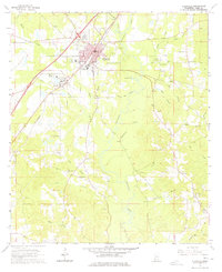
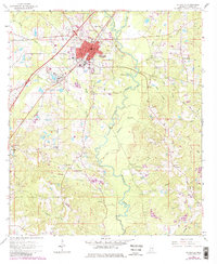
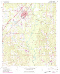
Ellisville serves as the primary hub of activity in this mid-1960s landscape, anchored by institutions such as Jones County Junior College and the Ellisville State Sch. The city's core is bisected by the Southern RR, which parallels the modern highway corridor, while the surrounding countryside remains deeply rooted in rural agriculture and education, evidenced by the Roosevelt Sch and County Home located on the town's periphery. The drainage patterns of the Tallahala Creek and its many tributaries, like Grindstone Creek and Rocky Creek, dictate the distribution of smaller communities and family-named landmarks.
Find a feature on this map
91 named features on this map. Tap any name to fly to it.
Don’t see what you’re looking for? This feature index may not catch every label — zoom into the map to look around manually.
Map Details
Editions of this 1964 Ellisville Map
4 editions found
Other maps of this area

1953 · Hattiesburg
USGS Topo · 1:250,000

1958 · Hattiesburg
USGS Topo · 1:250,000

1963 · Barrontown
USGS Topo · 1:24,000

1964 · Laurel East
USGS Topo · 1:24,000

1964 · Laurel West
USGS Topo · 1:24,000

1964 · Ovett
USGS Topo · 1:24,000

1964 · Lanham
USGS Topo · 1:24,000

1965 · Hebron
USGS Topo · 1:24,000

1965 · Eastabuchie
USGS Topo · 1:24,000

1965 · Moselle
USGS Topo · 1:24,000