
1964 Map of Laurel East
USGS Topo · Published 1965About this map
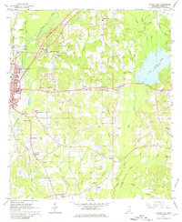
Laurel serves as the western anchor for this mid-1960s landscape, where the urban grid gives way to the scattered rural communities of Eastview, Powers, and Glade. The area is defined by its industrial and infrastructure roots, evidenced by the numerous claypits and oil wells dotting the terrain, alongside the junction of the Gulf Mobile and Ohio Railroad and the Southern Railway. To the east, the extensive waters of Lake Bogue Homo dominate the drainage basin, fed by the winding Bogue Homo and Cheely Branch. Genealogists will find a wealth of localized data in the several country churches and burial grounds, such as the East Pleasant Grove Cem and Nora Davis Memorial Cem, which sit near the Nora Davis Sch, reflecting the community-centric development of Jones County during this era.
Find a feature on this map
53 named features on this map. Tap any name to fly to it.
Don’t see what you’re looking for? This feature index may not catch every label — zoom into the map to look around manually.
Map Details
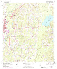
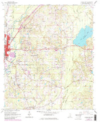
Editions of this 1964 Laurel East Map
4 editions found
Other maps of this area

1953 · Hattiesburg
USGS Topo · 1:250,000

1958 · Hattiesburg
USGS Topo · 1:250,000

1964 · Heidelberg SW
USGS Topo · 1:24,000

1964 · Moss
USGS Topo · 1:24,000

1964 · Sandersville
USGS Topo · 1:24,000

1964 · Laurel West
USGS Topo · 1:24,000

1964 · Ellisville
USGS Topo · 1:24,000

1964 · Myrick
USGS Topo · 1:24,000

1964 · Strengthford
USGS Topo · 1:24,000

1964 · Lanham
USGS Topo · 1:24,000