
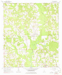
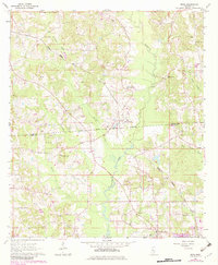
1964 Map of Moss
USGS Topo · Published 1965About this map
The Old Indian Treaty Boundary slices diagonally across this landscape, marking a historical divide near the Jasper and Jones County line. In the mid-1960s, this rural area north of Laurel was defined by a network of creek drainages including Tallahoma Creek, Terrapin Creek, and Brushy Creek. The settlement of Moss serves as a local hub, supported by a dense arrangement of rural institutions such as Union Seminary Ch, Pleasant Grove Ch, and Good Hope Ch. Resource extraction is evident through scattered industrial sites like a Claypit and an Oil Well, hinting at the region's diverse economic base beyond timber and agriculture. The terrain is marked by family-named landmarks and cemeteries like Weston Cem, providing essential details for genealogists tracing ancestral roots in the Piney Woods.
Find a feature on this map
24 named features on this map. Tap any name to fly to it.
Don’t see what you’re looking for? This feature index may not catch every label — zoom into the map to look around manually.
Map Details
Editions of this 1964 Moss Map
3 editions found
Other maps of this area

1953 · Hattiesburg
USGS Topo · 1:250,000

1958 · Hattiesburg
USGS Topo · 1:250,000

1963 · Waldrup
USGS Topo · 1:24,000

1964 · Sandersville
USGS Topo · 1:24,000

1964 · Laurel East
USGS Topo · 1:24,000

1964 · Laurel West
USGS Topo · 1:24,000

1964 · Lake Como
USGS Topo · 1:24,000

1965 · Hebron
USGS Topo · 1:24,000

1974 · Soso
USGS Topo · 1:24,000
1974 · Bay Springs
USGS Topo · 1:24,000